Lureuil | |
|---|---|
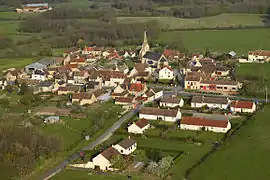 The church and surrounding buildings in Lureuil | |
Location of Lureuil | |
 Lureuil 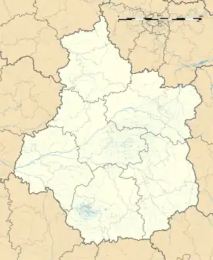 Lureuil | |
| Coordinates: 46°44′41″N 1°02′36″E / 46.7447°N 1.0433°E | |
| Country | France |
| Region | Centre-Val de Loire |
| Department | Indre |
| Arrondissement | Le Blanc |
| Canton | Le Blanc |
| Government | |
| • Mayor (2020–2026) | Jean-Louis Multon[1] |
| Area 1 | 22.04 km2 (8.51 sq mi) |
| Population | 268 |
| • Density | 12/km2 (31/sq mi) |
| Time zone | UTC+01:00 (CET) |
| • Summer (DST) | UTC+02:00 (CEST) |
| INSEE/Postal code | 36105 /36220 |
| Elevation | 90–151 m (295–495 ft) (avg. 152 m or 499 ft) |
| 1 French Land Register data, which excludes lakes, ponds, glaciers > 1 km2 (0.386 sq mi or 247 acres) and river estuaries. | |
Lureuil (French pronunciation: [lyʁœj]) is a commune in the Indre department in central France.
Geography
The commune is located in the parc naturel régional de la Brenne.
Population
| Year | Pop. | ±% p.a. |
|---|---|---|
| 1968 | 302 | — |
| 1975 | 222 | −4.30% |
| 1982 | 215 | −0.46% |
| 1990 | 281 | +3.40% |
| 1999 | 287 | +0.24% |
| 2009 | 271 | −0.57% |
| 2014 | 266 | −0.37% |
| 2020 | 263 | −0.19% |
| Source: INSEE[3] | ||
See also
References
- ↑ "Répertoire national des élus: les maires" (in French). data.gouv.fr, Plateforme ouverte des données publiques françaises. 13 September 2022.
- ↑ "Populations légales 2021". The National Institute of Statistics and Economic Studies. 28 December 2023.
- ↑ Population en historique depuis 1968, INSEE
Wikimedia Commons has media related to Lureuil.
This article is issued from Wikipedia. The text is licensed under Creative Commons - Attribution - Sharealike. Additional terms may apply for the media files.