Bommiers | |
|---|---|
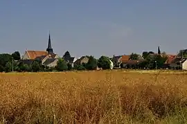 A general view of Bommiers | |
.svg.png.webp) Coat of arms | |
Location of Bommiers | |
 Bommiers 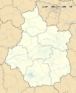 Bommiers | |
| Coordinates: 46°47′44″N 1°59′10″E / 46.7956°N 1.9861°E | |
| Country | France |
| Region | Centre-Val de Loire |
| Department | Indre |
| Arrondissement | Issoudun |
| Canton | La Châtre |
| Government | |
| • Mayor (2020–2026) | Bernard Allouis[1] |
| Area 1 | 28.38 km2 (10.96 sq mi) |
| Population | 312 |
| • Density | 11/km2 (28/sq mi) |
| Time zone | UTC+01:00 (CET) |
| • Summer (DST) | UTC+02:00 (CEST) |
| INSEE/Postal code | 36019 /36120 |
| Elevation | 143–204 m (469–669 ft) (avg. 161 m or 528 ft) |
| 1 French Land Register data, which excludes lakes, ponds, glaciers > 1 km2 (0.386 sq mi or 247 acres) and river estuaries. | |
Bommiers (French pronunciation: [bɔmje]) is a commune in the Indre département in central France.
Population
| Year | Pop. | ±% p.a. |
|---|---|---|
| 1968 | 363 | — |
| 1975 | 350 | −0.52% |
| 1982 | 283 | −2.99% |
| 1990 | 229 | −2.61% |
| 1999 | 260 | +1.42% |
| 2009 | 292 | +1.17% |
| 2014 | 302 | +0.68% |
| 2020 | 312 | +0.54% |
| Source: INSEE[3] | ||
See also
References
- ↑ "Répertoire national des élus: les maires". data.gouv.fr, Plateforme ouverte des données publiques françaises (in French). 2 December 2020.
- ↑ "Populations légales 2021". The National Institute of Statistics and Economic Studies. 28 December 2023.
- ↑ Population en historique depuis 1968, INSEE
Wikimedia Commons has media related to Bommiers.
This article is issued from Wikipedia. The text is licensed under Creative Commons - Attribution - Sharealike. Additional terms may apply for the media files.