| Hostovatnet | |
|---|---|
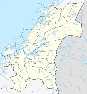 Hostovatnet Location of the lake Show map of Trøndelag Hostovatnet Hostovatnet (Norway) Show map of Norway | |
| Location | Orkland, Trøndelag |
| Coordinates | 63°11′11″N 9°33′58″E / 63.1863°N 09.5660°E / 63.1863; 09.5660 |
| Basin countries | Norway |
| Max. length | 3 kilometres (1.9 mi) |
| Max. width | 2 kilometres (1.2 mi) |
| Surface area | 3.14 km2 (1.21 sq mi) |
| Shore length1 | 10.31 kilometres (6.41 mi) |
| Surface elevation | 199 metres (653 ft) |
| Settlements | Hoston |
| References | NVE |
| 1 Shore length is not a well-defined measure. | |
Hostovatnet is a lake in Trøndelag county, Norway. The 3.14-square-kilometre (1.21 sq mi) lake lies in Orkland Municipality. The village of Hoston is located on the northeastern shore of the lake.[1]
The water leaves the lake primarily through the river Vorma which flows east to the village of Vormstad where it joins the river Orkla. The lake Gangåsvatnet lies about 7 kilometres (4.3 mi) to the north. At the southern tip of Hostovatnet there is a short connection to the lake Ringavatnet. The lake is good for fishing trout and Arctic char.
See also
References
- ↑ "Hostovatnet, Orkdal (Trøndelag)" (in Norwegian). yr.no. Retrieved 2011-01-27.
This article is issued from Wikipedia. The text is licensed under Creative Commons - Attribution - Sharealike. Additional terms may apply for the media files.