| Endestadvatnet | |
|---|---|
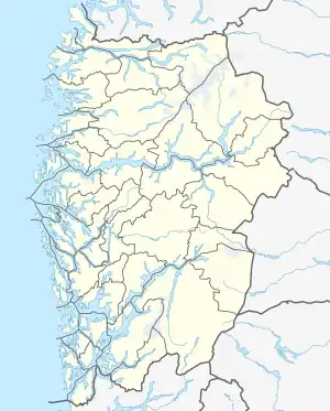 Endestadvatnet Location of the lake Show map of Vestland Endestadvatnet Endestadvatnet (Norway) Show map of Norway | |
| Location | Kinn, Vestland |
| Coordinates | 61°36′06″N 5°34′18″E / 61.6016°N 5.5717°E / 61.6016; 5.5717 |
| Primary inflows | Lykkjebøvatnet lake |
| Primary outflows | Storelva river |
| Basin countries | Norway |
| Max. length | 5 kilometres (3.1 mi) |
| Max. width | 1.5 kilometres (0.93 mi) |
| Surface area | 3.49 km2 (1.35 sq mi) |
| Shore length1 | 13.64 kilometres (8.48 mi) |
| Surface elevation | 59 metres (194 ft) |
| References | NVE |
| 1 Shore length is not a well-defined measure. | |
Endestadvatnet is a lake in the municipality of Kinn in Vestland county, Norway. The lake is located about 8 kilometres (5.0 mi) east of the village of Eikefjord and 5 kilometres (3.1 mi) west of the lake Emhjellevatnet in neighboring Gloppen municipality.[1]
See also
References
- ↑ "Endestadvatnet" (in Norwegian). yr.no. Retrieved 2010-08-08.
This article is issued from Wikipedia. The text is licensed under Creative Commons - Attribution - Sharealike. Additional terms may apply for the media files.