For the lake on the border of Innlandet and Møre og Romsdal, see Aursjøen.
| Aursjoen | |
|---|---|
 Aursjoen Location of the lake Show map of Innlandet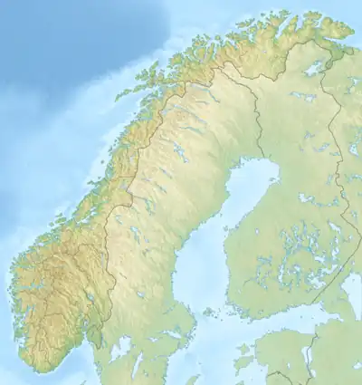 Aursjoen Aursjoen (Norway) Show map of Norway | |
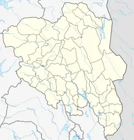
| Location | Skjåk Municipality, Innlandet |
| Coordinates | 61°56′15″N 8°16′27″E / 61.9374°N 8.27425°E / 61.9374; 8.27425 |
| Primary outflows | Aura river |
| Basin countries | Norway |
| Max. length | 5.5 kilometres (3.4 mi) |
| Max. width | 1.6 kilometres (0.99 mi) |
| Surface area | 7.3783 km2 (2.8488 sq mi) |
| Max. depth | 24.1 metres (79 ft) |
| Shore length1 | 18.88 kilometres (11.73 mi) |
| Surface elevation | 1,098 metres (3,602 ft) |
| References | NVE[1] |
| 1 Shore length is not a well-defined measure. | |
Aursjoen is a lake in Skjåk Municipality in Innlandet county, Norway. The 7.3783-square-kilometre (2.8488 sq mi) lake sits at an elevation of 1,098 metres (3,602 ft) above sea level. The lake lies about 5 kilometres (3.1 mi) north of the village of Bismo. The mountain Horrungen lies just east of the lake. Reinheimen National Park lies just north of the lake.
See also
References
- ↑ "Innsjødatabase". nve.no (in Norwegian). Retrieved 18 April 2022.
This article is issued from Wikipedia. The text is licensed under Creative Commons - Attribution - Sharealike. Additional terms may apply for the media files.