| Fustvatnet | |
|---|---|
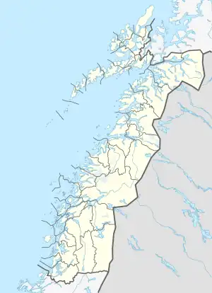 Fustvatnet Location of the lake Show map of Nordland Fustvatnet Fustvatnet (Norway) Show map of Norway | |
| Location | Vefsn, Nordland |
| Coordinates | 65°54′17″N 13°22′54″E / 65.9048°N 13.3816°E / 65.9048; 13.3816 |
| Basin countries | Norway |
| Max. length | 6.5 kilometres (4.0 mi) |
| Max. width | 3.2 kilometres (2.0 mi) |
| Surface area | 10.59 km2 (4.09 sq mi) |
| Shore length1 | 27.91 kilometres (17.34 mi) |
| Surface elevation | 39 metres (128 ft) |
| References | NVE |
| 1 Shore length is not a well-defined measure. | |
Fustvatnet is a lake that lies in the municipality of Vefsn in Nordland county, Norway. The 10.59-square-kilometre (4.09 sq mi) lake lies just south of the lake Mjåvatnet, about 5 kilometres (3.1 mi) northeast of the town of Mosjøen. The European route E6 highway follows the northwestern coastline.[1]
See also
References
- ↑ Store norske leksikon. "Fustvatnet" (in Norwegian). Retrieved 2011-11-30.
This article is issued from Wikipedia. The text is licensed under Creative Commons - Attribution - Sharealike. Additional terms may apply for the media files.