| Hæmmujávri Heammojávri | |
|---|---|
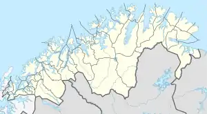 Heammojávri Location of the lake Show map of Troms og Finnmark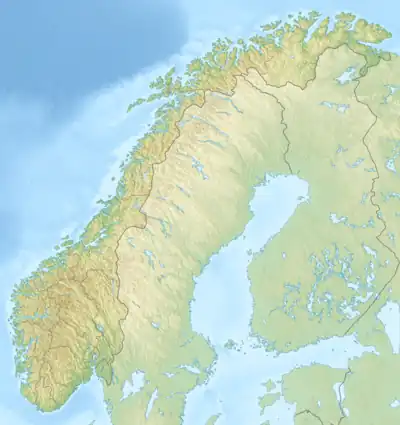 Heammojávri Heammojávri (Norway) Show map of Norway | |
| Location | Troms og Finnmark |
| Coordinates | 69°10′11″N 23°27′35″E / 69.1696°N 23.4596°E / 69.1696; 23.4596 |
| Primary inflows | Kautokeinoelva |
| Primary outflows | Kautokeinoelva |
| Basin countries | Norway |
| Surface area | 10.94 km2 (4.22 sq mi) |
| Shore length1 | 74.7 kilometres (46.4 mi) |
| Surface elevation | 301 metres (988 ft) |
| References | NVE |
| 1 Shore length is not a well-defined measure. | |
Heammojávri or Hæmmujávri is a lake in the municipality of Kautokeino-Guovdageaidnu in Troms og Finnmark county, Norway. The 10.9-square-kilometre (4.2 sq mi) lake is part of the river Kautokeinoelva, along the European route E45.[1]
See also
References
- ↑ "Heammojávri" (in Norwegian). yr.no. Retrieved 2013-04-03.
This article is issued from Wikipedia. The text is licensed under Creative Commons - Attribution - Sharealike. Additional terms may apply for the media files.