Wierda Valley | |
|---|---|
 Wierda Valley 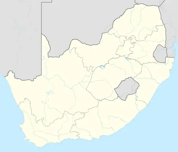 Wierda Valley | |
| Coordinates: 26°06′47″S 28°03′25″E / 26.113°S 28.057°E | |
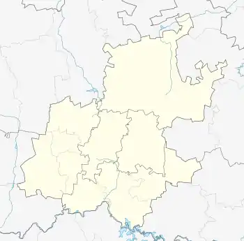
| Country | South Africa |
| Province | Gauteng |
| Municipality | City of Johannesburg |
| Main Place | Sandton |
| Area | |
| • Total | 0.36 km2 (0.14 sq mi) |
| Population (2011)[1] | |
| • Total | 148 |
| • Density | 410/km2 (1,100/sq mi) |
| Racial makeup (2011) | |
| • Black African | 27.7% |
| • Indian/Asian | 6.1% |
| • White | 56.8% |
| • Other | 9.5% |
| First languages (2011) | |
| • English | 58.4% |
| • Afrikaans | 10w.1% |
| • Tswana | 8.7% |
| • Zulu | 3.4% |
| Time zone | UTC+2 (SAST) |
| Postal code (street) | 2196 |
Wierda Valley is a suburb of Johannesburg, South Africa. It is named after Sytze Wierda, the first architect and engineer to the South African Republic. It is located in Region E of the City of Johannesburg Metropolitan Municipality.
References
- 1 2 3 4 "Sub Place Wierda Valley". Census 2011.
This article is issued from Wikipedia. The text is licensed under Creative Commons - Attribution - Sharealike. Additional terms may apply for the media files.