Birchleigh | |
|---|---|
 Birchleigh 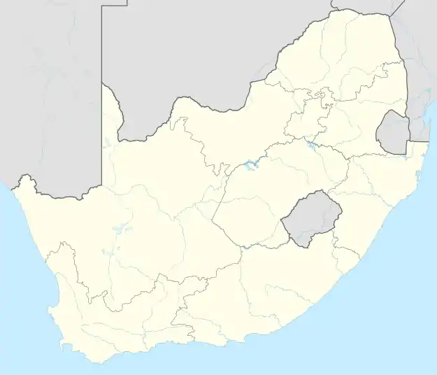 Birchleigh | |
| Coordinates: 26°3′25″S 28°14′16″E / 26.05694°S 28.23778°E | |
| Country | South Africa |
| Province | Gauteng |
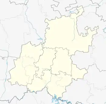
| Municipality | Ekurhuleni |
| Main Place | Kempton Park |
| Area | |
| • Total | 4.46 km2 (1.72 sq mi) |
| Population (2011)[1] | |
| • Total | 10,776 |
| • Density | 2,400/km2 (6,300/sq mi) |
| Racial makeup (2011) | |
| • Black African | 25.1% |
| • Coloured | 1.6% |
| • Indian/Asian | 2.4% |
| • White | 70.0% |
| • Other | 0.9% |
| First languages (2011) | |
| • Afrikaans | 59.3% |
| • English | 21.5% |
| • Zulu | 3.7% |
| • Northern Sotho | 3.4% |
| • Other | 12.1% |
| Time zone | UTC+2 (SAST) |
| Postal code (street) | 1618 |
| PO box | 1621 |
Birchleigh is one of the northernmost suburbs of Kempton Park, in Gauteng province, South Africa. The suburb has a population of 10,776 as of the 2011 census.
References
- 1 2 3 4 "Sub Place Birchleigh". Census 2011.
Communities of Ekurhuleni, Gauteng | ||
|---|---|---|
Seat: Germiston | ||
| Places in Ekurhuleni | .svg.png.webp) Ekurhuleni within South Africa | |
| Suburbs of Kempton Park | ||
This article is issued from Wikipedia. The text is licensed under Creative Commons - Attribution - Sharealike. Additional terms may apply for the media files.