Ophirton | |
|---|---|
 Ophirton 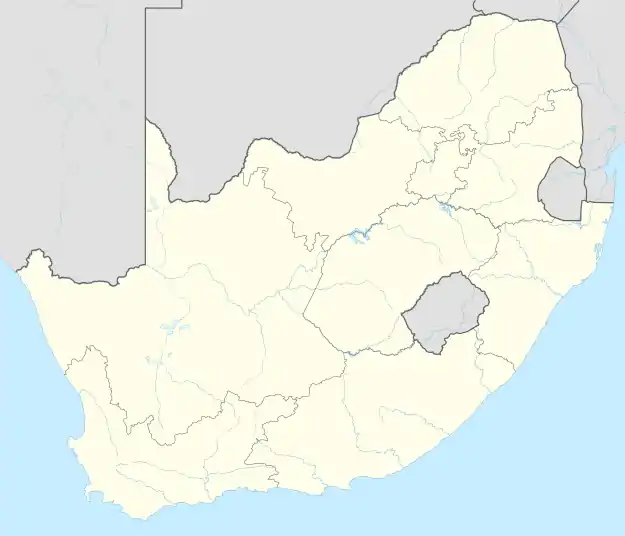 Ophirton | |
| Coordinates: 26°13′30″S 28°01′34″E / 26.225°S 28.026°E | |
| Country | South Africa |
| Province | Gauteng |
| Municipality | City of Johannesburg |
| Main Place | Johannesburg |
| Area | |
| • Total | 0.94 km2 (0.36 sq mi) |
| Population (2011)[1] | |
| • Total | 506 |
| • Density | 540/km2 (1,400/sq mi) |
| Racial makeup (2011) | |
| • Black African | 67.6% |
| • Coloured | 3.4% |
| • Indian/Asian | 25.7% |
| • White | 1.8% |
| • Other | 1.6% |
| First languages (2011) | |
| • English | 30.4% |
| • Zulu | 19.3% |
| • Xhosa | 9.7% |
| • Northern Sotho | 7.2% |
| • Other | 33.5% |
| Time zone | UTC+2 (SAST) |
| Postal code (street) | 2091 |
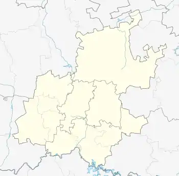
Ophirton is a suburb of Johannesburg, South Africa. This industrial suburb lies three kilometers to south-west of the Johannesburg CBD. It is located in Region F of the City of Johannesburg Metropolitan Municipality, adjacent to Booysens.
History
Ophirton has it origin in 1888, not long after the creation of Johannesburg in 1886.[2]: 154 The suburb is situated on part of an old Witwatersrand farm called Turffontein.[3] It is named after the Paarl Ophir Gold Mining Company that owned the land.[3] It has its origins as a dusty residential suburb, that was surrounded by mine dumps, and occupied by the poorer classes.[2]: 154 Chandler's Brewery was one of the early industrial business' in the suburb.[2]: 154 Nowadays the suburb is mostly industrial but a few old residential houses remain.
References
- 1 2 3 4 "Sub Place Ophirton". Census 2011.
- 1 2 3 Leyds, Gerald Anton (1964). A History of Johannesburg: The Early Years. Nasional Boekhandel. p. 318.
- 1 2 Raper, Peter E.; Moller, Lucie A.; du Plessis, Theodorus L. (2014). Dictionary of Southern African Place Names. Jonathan Ball Publishers. p. 1412. ISBN 9781868425501.