Percelia Estate | |
|---|---|
 Percelia Estate 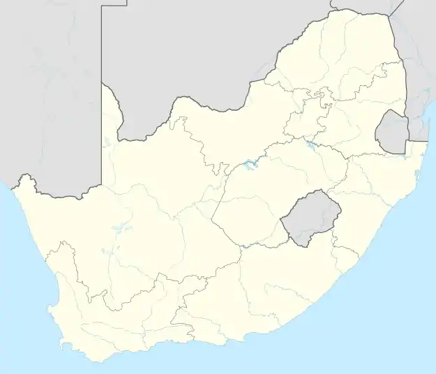 Percelia Estate | |
| Coordinates: 26°08′28″S 28°05′31″E / 26.141°S 28.092°E | |
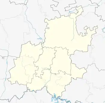
| Country | South Africa |
| Province | Gauteng |
| Municipality | City of Johannesburg |
| Main Place | Johannesburg |
| Area | |
| • Total | 0.32 km2 (0.12 sq mi) |
| Population (2011)[1] | |
| • Total | 930 |
| • Density | 2,900/km2 (7,500/sq mi) |
| Racial makeup (2011) | |
| • Black African | 21.4% |
| • Coloured | 0.8% |
| • Indian/Asian | 1.4% |
| • White | 76.3% |
| • Other | 0.1% |
| First languages (2011) | |
| • English | 81.7% |
| • Afrikaans | 4.7% |
| • Zulu | 3.3% |
| • Northern Sotho | 2.7% |
| • Other | 7.6% |
| Time zone | UTC+2 (SAST) |
Percelia Estate is a suburb of Johannesburg, South Africa. It is located in Region E of the City of Johannesburg Metropolitan Municipality.
History
The suburb is situated on part of an old Witwatersrand farm called Klipfontein.[2] It became a suburb on 14 September 1938.[2] It takes its name from the first names from the land owners Percy Michels and Elias Sandler.[2]
References
This article is issued from Wikipedia. The text is licensed under Creative Commons - Attribution - Sharealike. Additional terms may apply for the media files.