Gungwiller | |
|---|---|
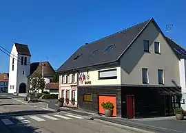 The church and town hall in Gungwiller | |
 Coat of arms | |
Location of Gungwiller | |
 Gungwiller 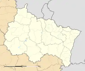 Gungwiller | |
| Coordinates: 48°52′55″N 7°09′31″E / 48.8819°N 7.1586°E | |
| Country | France |
| Region | Grand Est |
| Department | Bas-Rhin |
| Arrondissement | Saverne |
| Canton | Ingwiller |
| Government | |
| • Mayor (2020–2026) | Jean-Jacques Wursteisen[1] |
| Area 1 | 1.65 km2 (0.64 sq mi) |
| Population | 285 |
| • Density | 170/km2 (450/sq mi) |
| Time zone | UTC+01:00 (CET) |
| • Summer (DST) | UTC+02:00 (CEST) |
| INSEE/Postal code | 67178 /67320 |
| Elevation | 303–358 m (994–1,175 ft) |
| 1 French Land Register data, which excludes lakes, ponds, glaciers > 1 km2 (0.386 sq mi or 247 acres) and river estuaries. | |
Gungwiller (German: Gungweiler) is a commune in the Bas-Rhin department in Grand Est in north-eastern France.[3]
Geography
Positioned to the north-west of Phalsbourg on the road towards the Saarland, Gungwiller is a one-street village surrounded by farmland.
See also
References
- ↑ "Répertoire national des élus: les maires" (in French). data.gouv.fr, Plateforme ouverte des données publiques françaises. 13 September 2022.
- ↑ "Populations légales 2021". The National Institute of Statistics and Economic Studies. 28 December 2023.
- ↑ INSEE commune file
Wikimedia Commons has media related to Gungwiller.
This article is issued from Wikipedia. The text is licensed under Creative Commons - Attribution - Sharealike. Additional terms may apply for the media files.