Courmemin | |
|---|---|
 | |
Location of Courmemin | |
 Courmemin 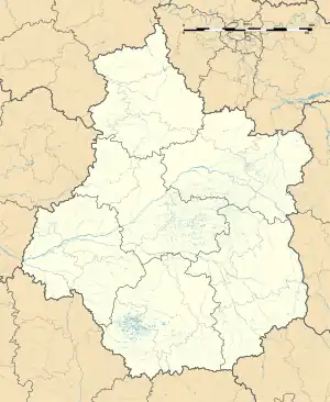 Courmemin | |
| Coordinates: 47°28′22″N 1°37′41″E / 47.4728°N 1.6281°E | |
| Country | France |
| Region | Centre-Val de Loire |
| Department | Loir-et-Cher |
| Arrondissement | Romorantin-Lanthenay |
| Canton | Chambord |
| Intercommunality | Romorantinais et Monestois |
| Government | |
| • Mayor (2020–2026) | Gilles Chantier[1] |
| Area 1 | 24.17 km2 (9.33 sq mi) |
| Population | 495 |
| • Density | 20/km2 (53/sq mi) |
| Time zone | UTC+01:00 (CET) |
| • Summer (DST) | UTC+02:00 (CEST) |
| INSEE/Postal code | 41068 /41230 |
| Elevation | 84–124 m (276–407 ft) (avg. 110 m or 360 ft) |
| 1 French Land Register data, which excludes lakes, ponds, glaciers > 1 km2 (0.386 sq mi or 247 acres) and river estuaries. | |
Courmemin (French pronunciation: [kuʁməmɛ̃]) is a commune in the Loir-et-Cher department of central France.[3]
Population
| Year | Pop. | ±% p.a. |
|---|---|---|
| 1968 | 588 | — |
| 1975 | 505 | −2.15% |
| 1982 | 503 | −0.06% |
| 1990 | 526 | +0.56% |
| 1999 | 471 | −1.22% |
| 2007 | 516 | +1.15% |
| 2012 | 521 | +0.19% |
| 2017 | 509 | −0.46% |
| Source: INSEE[4] | ||
See also
References
- ↑ "Répertoire national des élus: les maires". data.gouv.fr, Plateforme ouverte des données publiques françaises (in French). 2 December 2020.
- ↑ "Populations légales 2021". The National Institute of Statistics and Economic Studies. 28 December 2023.
- ↑ INSEE commune file
- ↑ Population en historique depuis 1968, INSEE
Wikimedia Commons has media related to Courmemin.
This article is issued from Wikipedia. The text is licensed under Creative Commons - Attribution - Sharealike. Additional terms may apply for the media files.