41°00′06″N 43°39′34″E / 41.00167°N 43.65944°E
Zarishat
Զարիշատ | |
|---|---|
 Zarishat 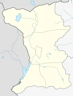 Zarishat | |
| Coordinates: 41°00′06″N 43°39′34″E / 41.00167°N 43.65944°E | |
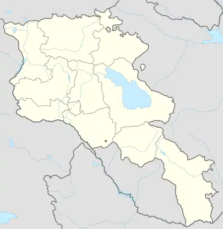
| Country | Armenia |
| Province | Shirak |
| Municipality | Amasia |
| Population (2011) | |
| • Total | 49 |
| Time zone | UTC+4 |
Zarishat (Armenian: Զարիշատ) is a village in the Amasia Municipality of the Shirak Province of Armenia.
Demographics
According to 1912 publication of Kavkazskiy kalendar, there was a mainly Karapapakh population of 260 in the village of Gonjali of the Kars Okrug in the Kars Oblast.[1]
The population of the village since 1897 is as follows:[2]
| Year | Population |
|---|---|
| 1897 | 310 |
| 1926 | 120 |
| 1939 | 689 |
| 1959 | 321 |
| 1979 | 223 |
| 1989 | 60 |
| 2001 | 82 |
| 2004 | 87 |
| 2012 | 108 |
References
- Zarishat at GEOnet Names Server
- Report of the results of the 2001 Armenian Census, Statistical Committee of Armenia
- ↑ Кавказский календарь на 1912 год [Caucasian calendar for 1912] (in Russian) (67th ed.). Tiflis: Tipografiya kantselyarii Ye.I.V. na Kavkaze, kazenny dom. 1912. Archived from the original on 11 December 2021.
- ↑ Հայաստանի Հանրապետության բնակավայրերի բառարան [Republic of Armenia settlements dictionary] (PDF) (in Armenian). Yerevan: Cadastre Committee of the Republic of Armenia. 2008. Archived from the original (PDF) on 11 March 2018.
Capital: Gyumri | ||
| Urban settlements | 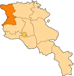 | |
| Akhuryan Municipality | ||
| Amasia Municipality | ||
| Ani Municipality | ||
| Artik Municipality | ||
| Ashotsk Municipality | ||
This article is issued from Wikipedia. The text is licensed under Creative Commons - Attribution - Sharealike. Additional terms may apply for the media files.