40°40′12″N 43°51′59″E / 40.67000°N 43.86639°E
Saratak
Սարատակ | |
|---|---|
 Saratak 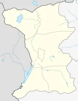 Saratak | |
| Coordinates: 40°40′12″N 43°51′59″E / 40.67000°N 43.86639°E | |
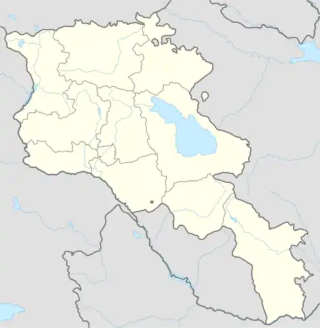
| Country | Armenia |
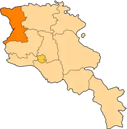
| Province | Shirak |
| Municipality | Artik |
| Population (2008) | |
| • Total | 1,211 |
| Time zone | UTC+4 |
Saratak (Armenian: Սարատակ) is a village in the Artik Municipality of the Shirak Province of Armenia.
Demographics
| Year | Pop. | ±% p.a. |
|---|---|---|
| 1831 | 191 | — |
| 1873 | 565 | +2.62% |
| 1897 | 878 | +1.85% |
| 1926 | 923 | +0.17% |
| 1939 | 1,112 | +1.44% |
| 1959 | 1,062 | −0.23% |
| 1970 | 1,181 | +0.97% |
| 1979 | 1,142 | −0.37% |
| 1989 | 1,429 | +2.27% |
| 2001 | 1,274 | −0.95% |
| 2004 | 1,335 | +1.57% |
| Source: [1] | ||
References
- ↑ Հայաստանի Հանրապետության բնակավայրերի բառարան [Republic of Armenia settlements dictionary] (PDF) (in Armenian). Yerevan: Cadastre Committee of the Republic of Armenia. 2008. Archived from the original (PDF) on 11 March 2018.
- Nahapetyan A.R., Ottoman Population Census of the Sanjak of Upper Basen of 1835: an Example of Koprukoy village // Shirak Center for Armenian Studies
- Saratak at GEOnet Names Server
- World Gazeteer: Armenia – World-Gazetteer.com
- Report of the results of the 2001 Armenian Census, Statistical Committee of Armenia
This article is issued from Wikipedia. The text is licensed under Creative Commons - Attribution - Sharealike. Additional terms may apply for the media files.