Venturosa | |
|---|---|
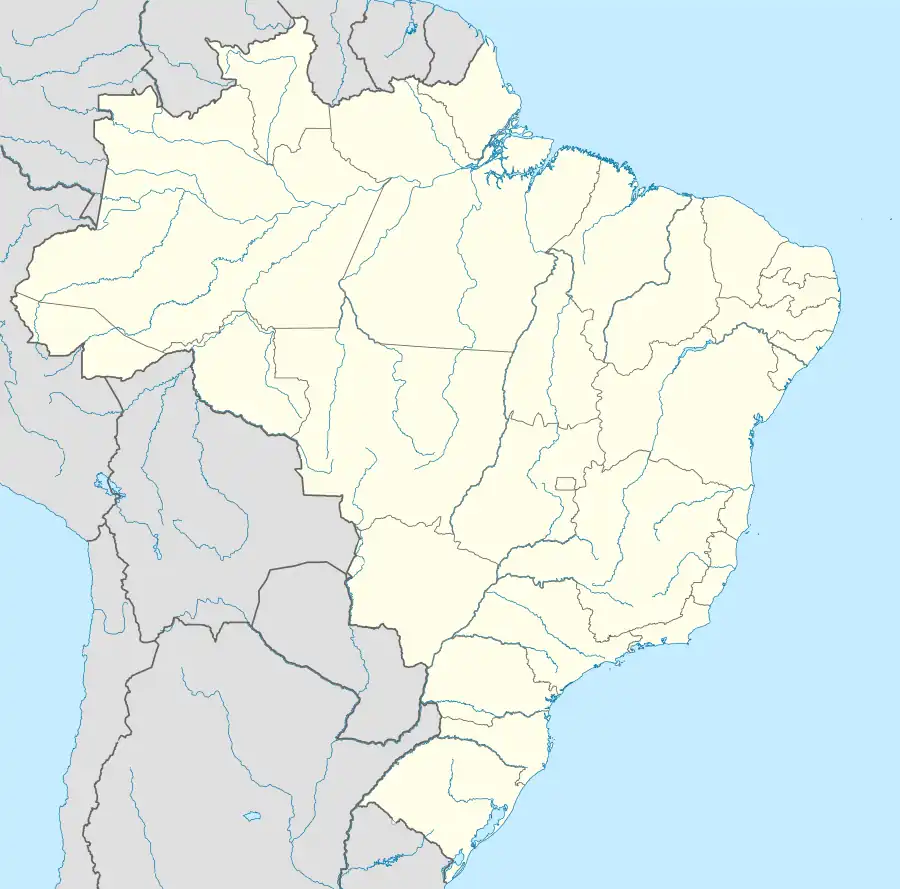 Venturosa Venturosa located in Brazil Map | |
| Coordinates: 8°34′29″S 36°52′27″W / 8.57472°S 36.87417°W | |
| Country | |
| State | Pernambuco |
| Region | Agreste |
| Area | |
| • Total | 338.12 km2 (130.55 sq mi) |
| Elevation | 530 m (1,740 ft) |
| Population (2020 [1]) | |
| • Total | 18,661 |
| Time zone | UTC−3 (BRT) |
Venturosa is a city in northeastern Brazil, in the State of Pernambuco. It lies in the mesoregion of Agreste of Pernambuco and has 338.12 sq/km of total area.
Geography
- State - Pernambuco
- Region - Agreste of Pernambuco
- Boundaries - Caetés and Capoeiras (S); Pesqueira and Alagoinha (E); Pedra (W).
- Area - 338.12 km2
- Elevation - 530 m
- Hydrography - Ipojuca, Ipanema and Una rivers
- Vegetation - Caatinga Hipoxerófila
- Annual average temperature - 23.4 c
- Distance to Recife - 243 km
Economy
The main economic activities in Venturosa are industry, commerce and agribusiness, especially beans, corn; and farming of cattle, sheep, goats, pigs and chickens.
Economic Indicators
| Population[2] | GDP x(1000 R$).[3] | GDP pc (R$) | PE |
|---|---|---|---|
| 16.706 | 58.989 | 3.787 | 0.096% |
Economy by Sector (2006)
| Primary sector | Secondary sector | Service sector |
|---|---|---|
| 24.13% | 8.37% | 67.50% |
Health Indicators
| HDI (2000)[4] | Hospitals (2007) | Hospitals beds (2007) | Children's Mortality every 1000 (2005) |
|---|---|---|---|
| 0.633 | 1 | 24 | 18.1 |
References
- ↑ IBGE 2020
- ↑ IBGE, Population 2009 Venturosa, page 35
- ↑ "Venturosa 2007 GDP IBGE page 32" (PDF). Archived from the original (PDF) on 2016-03-04. Retrieved 2016-03-04.
- ↑ PE State site - City by city profile
Capital: Recife | ||||||||||||||
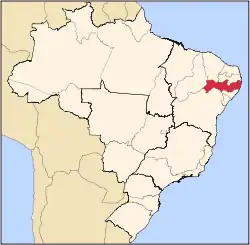
| Mesoregion Agreste Pernambucano |
|  | ||||||||||||
| Mesoregion Mata Pernambucana |
| |||||||||||||
| Mesoregion Metropolitana de Recife |
| |||||||||||||
| Mesoregion Sao Francisco Pernambucano |
| |||||||||||||
| Mesoregion Sertão Pernambucano |
| |||||||||||||
This article is issued from Wikipedia. The text is licensed under Creative Commons - Attribution - Sharealike. Additional terms may apply for the media files.