Trebeľovce | |
|---|---|
Municipality | |
_-_R%C3%ADmskokatol%C3%ADcky_kostol_Najsv%C3%A4tej%C5%A1ieho_Srdca_Je%C5%BEi%C5%A1ovho.jpg.webp) Roman Catholic church in Trebeľovce (local part Muľka) | |
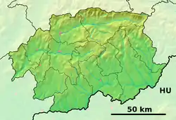 Trebeľovce Location of Trebeľovce in the Banská Bystrica Region 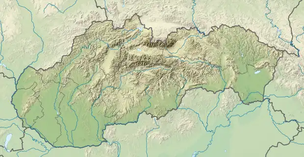 Trebeľovce Location of Trebeľovce in Slovakia | |
| Coordinates: 48°17′N 19°43′E / 48.283°N 19.717°E | |
| Country | |
| Region | Banská Bystrica |
| District | Lučenec |
| First mentioned | 1246 |
| Area | |
| • Total | 19.55 km2 (7.55 sq mi) |
| Elevation | 187 m (614 ft) |
| Time zone | UTC+1 (CET) |
| • Summer (DST) | UTC+2 (CEST) |
| Postal code | 985 31 (pošta Rapovce) |
| Area code | +421-47 |
| Car plate | LC |
| Website | www.obectrebelovce.sk |
Trebeľovce (Hungarian: Terbeléd) is a village and municipality in the Lučenec District in the Banská Bystrica Region of Slovakia.
External links
 Media related to Trebeľovce at Wikimedia Commons
- Official website

- http://www.statistics.sk/mosmis/eng/run.html
This article is issued from Wikipedia. The text is licensed under Creative Commons - Attribution - Sharealike. Additional terms may apply for the media files.