Lentvora | |
|---|---|
Municipality | |
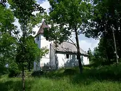 Lutheran Church in Lentvora | |
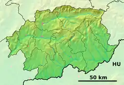 Lentvora Location of Lentvora in the Banská Bystrica Region 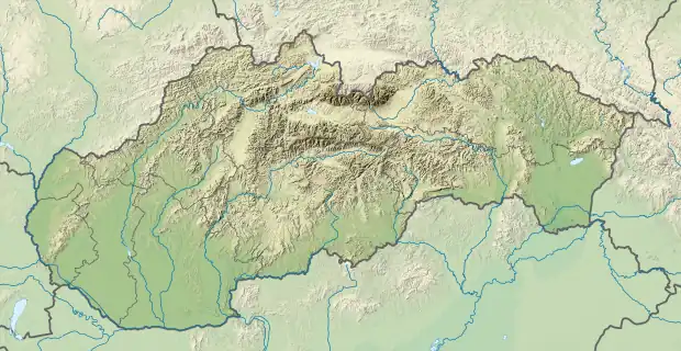 Lentvora Location of Lentvora in Slovakia | |
| Coordinates: 48°23′N 19°27′E / 48.383°N 19.450°E | |
| Country | |
| Region | Banská Bystrica |
| District | Lučenec |
| First mentioned | 1446 |
| Area | |
| • Total | 13.82[1] km2 (5.34[1] sq mi) |
| Elevation | 548[2] m (1,798[2] ft) |
| Population (2021) | |
| • Total | 82[3] |
| Time zone | UTC+1 (CET) |
| • Summer (DST) | UTC+2 (CEST) |
| Postal code | 985 13[2] |
| Area code | +421 47[2] |
| Car plate | LC |
Lentvora (Hungarian: Lentő) is a village and municipality in the Lučenec District in the Banská Bystrica Region of Slovakia.
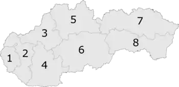
6: Banská Bystrica Region in Slovakia
References
- 1 2 "Hustota obyvateľstva - obce [om7014rr_ukaz: Rozloha (Štvorcový meter)]". www.statistics.sk (in Slovak). Statistical Office of the Slovak Republic. 2022-03-31. Retrieved 2022-03-31.
- 1 2 3 4 "Základná charakteristika". www.statistics.sk (in Slovak). Statistical Office of the Slovak Republic. 2015-04-17. Retrieved 2022-03-31.
- ↑ "Počet obyvateľov podľa pohlavia - obce (ročne)". www.statistics.sk (in Slovak). Statistical Office of the Slovak Republic. 2022-03-31. Retrieved 2022-03-31.
External links
 Media related to Lentvora at Wikimedia Commons
- https://web.archive.org/web/20080111223415/http://www.statistics.sk/mosmis/eng/run.html
This article is issued from Wikipedia. The text is licensed under Creative Commons - Attribution - Sharealike. Additional terms may apply for the media files.