Skorped | |
|---|---|
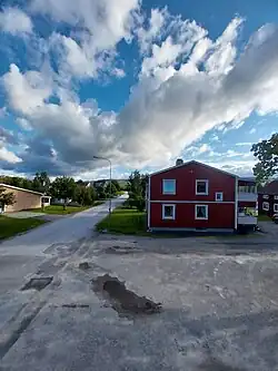 Image looking South-southwest out from the downtown. | |
 Skorped 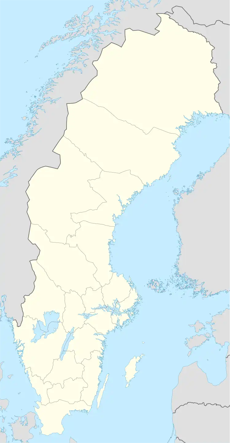 Skorped 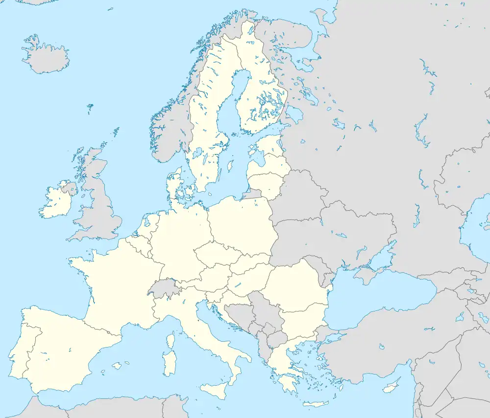 Skorped | |
| Coordinates: 63°23′03″N 17°51′08″E / 63.384055°N 17.852200°E | |
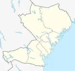
| Country | Sweden |
| Province | Ångermanland |
| County | Västernorrland County |
| Municipality | Örnsköldsvik Municipality |
| Area | |
| • Total | 0.24 km2 (0.09 sq mi) |
| Population | |
| • Total | 554 |
| • Density | 115/km2 (300/sq mi) |
| Time zone | UTC+1 (CET) |
| • Summer (DST) | UTC+2 (CEST) |
| Website | https://skorped.se/startsida/om-skorped/ |
Skorped (English: /skʊɹˌpɛd/ skor-PE-d; Swedish: [skɔrpˌeːɖ]) is a locality situated in Örnsköldsvik Municipality, Västernorrland County, Sweden with 554 inhabitants as of the year 2022.[1] The Northern Main Line railway runs through the town.
References
- 1 2 "ÖrnkartaWebb - befolkningsstatistik". karta-ext.ornskoldsvik.se.
- ↑ "Om Skorped – Välkommen till Skorped".
This article is issued from Wikipedia. The text is licensed under Creative Commons - Attribution - Sharealike. Additional terms may apply for the media files.