Salles-d'Armagnac | |
|---|---|
Location of Salles-d'Armagnac | |
 Salles-d'Armagnac 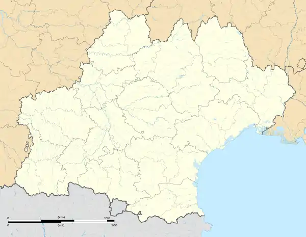 Salles-d'Armagnac | |
| Coordinates: 43°48′46″N 0°02′30″W / 43.8128°N 0.0417°W | |
| Country | France |
| Region | Occitania |
| Department | Gers |
| Arrondissement | Condom |
| Canton | Grand-Bas-Armagnac |
| Intercommunality | Bas-Armagnac |
| Government | |
| • Mayor (2020–2026) | Benoît Hebert[1] |
| Area 1 | 6.08 km2 (2.35 sq mi) |
| Population | 129 |
| • Density | 21/km2 (55/sq mi) |
| Time zone | UTC+01:00 (CET) |
| • Summer (DST) | UTC+02:00 (CEST) |
| INSEE/Postal code | 32408 /32370 |
| Elevation | 82–184 m (269–604 ft) (avg. 130 m or 430 ft) |
| 1 French Land Register data, which excludes lakes, ponds, glaciers > 1 km2 (0.386 sq mi or 247 acres) and river estuaries. | |
Salles-d'Armagnac (French pronunciation: [sal daʁmaɲak], literally Salles of Armagnac; Occitan: Salas d'Armanhac) is a commune in the Gers department in southwestern France.
Geography
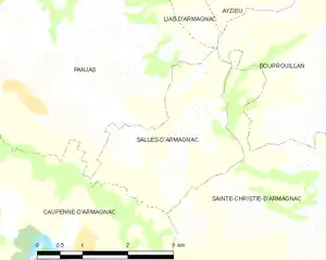
Salles-d'Armagnac and its surrounding communes
Population
| Year | Pop. | ±% |
|---|---|---|
| 1962 | 149 | — |
| 1968 | 114 | −23.5% |
| 1975 | 116 | +1.8% |
| 1982 | 101 | −12.9% |
| 1990 | 111 | +9.9% |
| 1999 | 104 | −6.3% |
| 2008 | 119 | +14.4% |
See also
References
- ↑ "Répertoire national des élus: les maires". data.gouv.fr, Plateforme ouverte des données publiques françaises (in French). 2 December 2020.
- ↑ "Populations légales 2021". The National Institute of Statistics and Economic Studies. 28 December 2023.
Wikimedia Commons has media related to Salles-d'Armagnac.
This article is issued from Wikipedia. The text is licensed under Creative Commons - Attribution - Sharealike. Additional terms may apply for the media files.