Saint-Loube | |
|---|---|
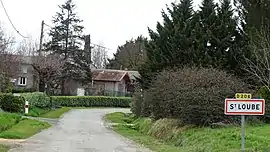 The road into Saint-Loube | |
Location of Saint-Loube | |
 Saint-Loube 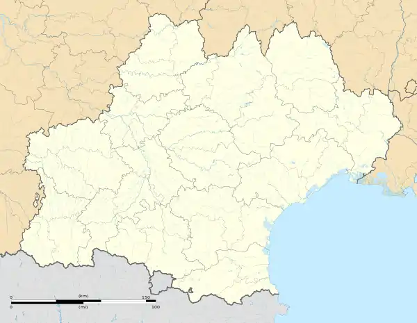 Saint-Loube | |
| Coordinates: 43°26′25″N 0°59′33″E / 43.4403°N 0.9925°E | |
| Country | France |
| Region | Occitania |
| Department | Gers |
| Arrondissement | Auch |
| Canton | Val de Save |
| Intercommunality | Savès |
| Government | |
| • Mayor (2020–2026) | Claude Perin[1] |
| Area 1 | 6.09 km2 (2.35 sq mi) |
| Population | 104 |
| • Density | 17/km2 (44/sq mi) |
| Time zone | UTC+01:00 (CET) |
| • Summer (DST) | UTC+02:00 (CEST) |
| INSEE/Postal code | 32387 /32220 |
| Elevation | 183–305 m (600–1,001 ft) (avg. 189 m or 620 ft) |
| 1 French Land Register data, which excludes lakes, ponds, glaciers > 1 km2 (0.386 sq mi or 247 acres) and river estuaries. | |
Saint-Loube (French pronunciation: [sɛ̃ lub]; Occitan: Sent Loba e Amadas) is a commune in the Gers department in southwestern France.
Geography
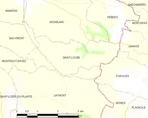
Saint-Loube and its surrounding communes
Population
| Year | Pop. | ±% |
|---|---|---|
| 1962 | 120 | — |
| 1968 | 99 | −17.5% |
| 1975 | 83 | −16.2% |
| 1982 | 72 | −13.3% |
| 1990 | 69 | −4.2% |
| 1999 | 62 | −10.1% |
| 2008 | 90 | +45.2% |
See also
References
- ↑ "Répertoire national des élus: les maires". data.gouv.fr, Plateforme ouverte des données publiques françaises (in French). 9 August 2021.
- ↑ "Populations légales 2021". The National Institute of Statistics and Economic Studies. 28 December 2023.
Wikimedia Commons has media related to Saint-Loube.
This article is issued from Wikipedia. The text is licensed under Creative Commons - Attribution - Sharealike. Additional terms may apply for the media files.