Laguian-Mazous | |
|---|---|
Location of Laguian-Mazous | |
 Laguian-Mazous 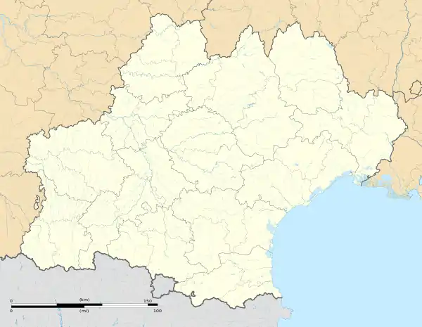 Laguian-Mazous | |
| Coordinates: 43°25′15″N 0°15′32″E / 43.4208°N 0.2589°E | |
| Country | France |
| Region | Occitania |
| Department | Gers |
| Arrondissement | Mirande |
| Canton | Mirande-Astarac |
| Government | |
| • Mayor (2020–2026) | Jean-Claude Dazet[1] |
| Area 1 | 9.98 km2 (3.85 sq mi) |
| Population | 247 |
| • Density | 25/km2 (64/sq mi) |
| Time zone | UTC+01:00 (CET) |
| • Summer (DST) | UTC+02:00 (CEST) |
| INSEE/Postal code | 32181 /32170 |
| Elevation | 199–347 m (653–1,138 ft) (avg. 320 m or 1,050 ft) |
| 1 French Land Register data, which excludes lakes, ponds, glaciers > 1 km2 (0.386 sq mi or 247 acres) and river estuaries. | |
Laguian-Mazous is a commune in the Gers department in southwestern France.
Geography
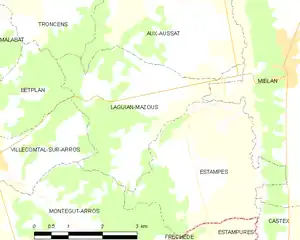
Laguian-Mazous and its surrounding communes
Population
| Year | Pop. | ±% |
|---|---|---|
| 1962 | 239 | — |
| 1968 | 243 | +1.7% |
| 1975 | 217 | −10.7% |
| 1982 | 250 | +15.2% |
| 1990 | 237 | −5.2% |
| 1999 | 303 | +27.8% |
| 2008 | 277 | −8.6% |
See also
References
- ↑ "Répertoire national des élus: les maires". data.gouv.fr, Plateforme ouverte des données publiques françaises (in French). 2 December 2020.
- ↑ "Populations légales 2021". The National Institute of Statistics and Economic Studies. 28 December 2023.
Wikimedia Commons has media related to Laguian-Mazous.
This article is issued from Wikipedia. The text is licensed under Creative Commons - Attribution - Sharealike. Additional terms may apply for the media files.