Saint-Cibard | |
|---|---|
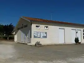 The town hall in Saint-Cibard | |
Location of Saint-Cibard | |
 Saint-Cibard 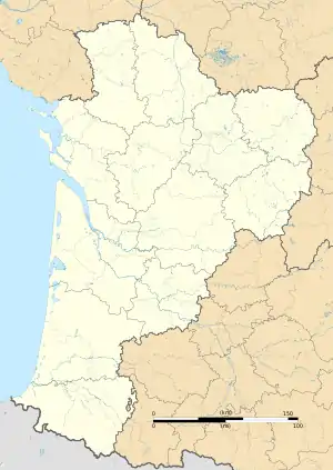 Saint-Cibard | |
| Coordinates: 44°56′12″N 0°01′15″W / 44.9367°N 0.0208°W | |
| Country | France |
| Region | Nouvelle-Aquitaine |
| Department | Gironde |
| Arrondissement | Libourne |
| Canton | Le Nord-Libournais |
| Government | |
| • Mayor (2020–2026) | Pascal Amoreau[1] |
| Area 1 | 3.54 km2 (1.37 sq mi) |
| Population | 192 |
| • Density | 54/km2 (140/sq mi) |
| Time zone | UTC+01:00 (CET) |
| • Summer (DST) | UTC+02:00 (CEST) |
| INSEE/Postal code | 33386 /33570 |
| Elevation | 38–108 m (125–354 ft) (avg. 106 m or 348 ft) |
| 1 French Land Register data, which excludes lakes, ponds, glaciers > 1 km2 (0.386 sq mi or 247 acres) and river estuaries. | |
Saint-Cibard (French pronunciation: [sɛ̃ sibaʁ]; Occitan: Sench Ibarç) is a commune in the Gironde department in Nouvelle-Aquitaine in southwestern France.
Population
| Year | Pop. | ±% |
|---|---|---|
| 1962 | 167 | — |
| 1968 | 207 | +24.0% |
| 1975 | 191 | −7.7% |
| 1982 | 190 | −0.5% |
| 1990 | 201 | +5.8% |
| 1999 | 192 | −4.5% |
| 2008 | 210 | +9.4% |
See also
References
- ↑ "Répertoire national des élus: les maires". data.gouv.fr, Plateforme ouverte des données publiques françaises (in French). 9 August 2021.
- ↑ "Populations légales 2021". The National Institute of Statistics and Economic Studies. 28 December 2023.
Wikimedia Commons has media related to Saint-Cibard.
This article is issued from Wikipedia. The text is licensed under Creative Commons - Attribution - Sharealike. Additional terms may apply for the media files.