Barie | |
|---|---|
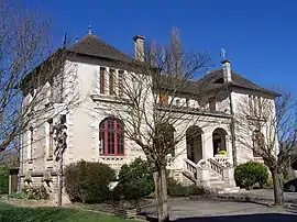 Town hall | |
Location of Barie | |
 Barie 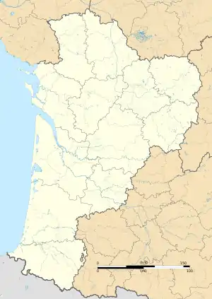 Barie | |
| Coordinates: 44°34′16″N 0°06′49″W / 44.5711°N 0.1136°W | |
| Country | France |
| Region | Nouvelle-Aquitaine |
| Department | Gironde |
| Arrondissement | Langon |
| Canton | Le Réolais et Les Bastides |
| Government | |
| • Mayor (2020–2026) | Bernard Pagot[1] |
| Area 1 | 5.33 km2 (2.06 sq mi) |
| Population | 281 |
| • Density | 53/km2 (140/sq mi) |
| Time zone | UTC+01:00 (CET) |
| • Summer (DST) | UTC+02:00 (CEST) |
| INSEE/Postal code | 33027 /33190 |
| Elevation | 7–18 m (23–59 ft) (avg. 13 m or 43 ft) |
| 1 French Land Register data, which excludes lakes, ponds, glaciers > 1 km2 (0.386 sq mi or 247 acres) and river estuaries. | |
Barie (French pronunciation: [baʁ'i]; Occitan: Varia) is a commune in the Gironde department in southwestern France.
Population
| Year | Pop. | ±% p.a. |
|---|---|---|
| 1968 | 289 | — |
| 1975 | 277 | −0.60% |
| 1982 | 260 | −0.90% |
| 1990 | 234 | −1.31% |
| 1999 | 211 | −1.14% |
| 2009 | 283 | +2.98% |
| 2014 | 289 | +0.42% |
| 2020 | 285 | −0.23% |
| Source: INSEE[3] | ||
See also
References
- ↑ "Répertoire national des élus: les maires". data.gouv.fr, Plateforme ouverte des données publiques françaises (in French). 2 December 2020.
- ↑ "Populations légales 2021". The National Institute of Statistics and Economic Studies. 28 December 2023.
- ↑ Population en historique depuis 1968, INSEE
Wikimedia Commons has media related to Barie.
This article is issued from Wikipedia. The text is licensed under Creative Commons - Attribution - Sharealike. Additional terms may apply for the media files.