Quévy
| |
|---|---|
.JPG.webp) | |
 Flag  Coat of arms | |
Location of Quévy | |
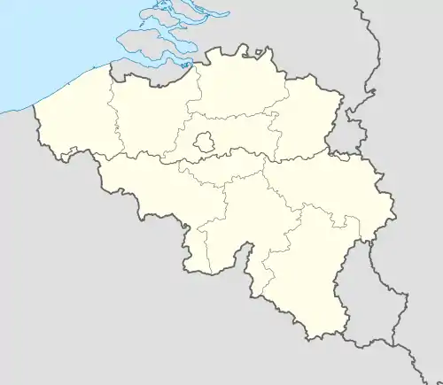 Quévy Location in Belgium
Location of Quévy in Hainaut 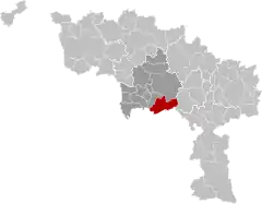 | |
| Coordinates: 50°21′N 03°56′E / 50.350°N 3.933°E | |
| Country | |
| Community | French Community |
| Region | Wallonia |
| Province | Hainaut |
| Arrondissement | Mons |
| Government | |
| • Mayor | Florence Lecompte (PS) |
| • Governing party/ies | PS - MR+ |
| Area | |
| • Total | 65.38 km2 (25.24 sq mi) |
| Population (2018-01-01)[1] | |
| • Total | 8,105 |
| • Density | 120/km2 (320/sq mi) |
| Postal codes | 7040, 7041 |
| NIS code | 53084 |
| Area codes | 065 |
| Website | www.quevy.be |
Quévy (French pronunciation: [kevi]; Picard: Kévi) is a municipality of Wallonia located in the province of Hainaut, Belgium.
On 1 January 2006, Quévy had a total population of 7,734. The total area is 65.16 km2 which gives a population density of 119 inhabitants per km2.
The municipality consists of the following districts: Asquillies, Aulnois, Blaregnies, Bougnies, Genly, Givry, Gœgnies-Chaussée, Havay, Quévy-le-Grand, and Quévy-le-Petit.
It is on the former main rail route between Brussels and Paris, and it was the virtual tariff border between the French SNCF and Belgian Railways SNCB.
References
- ↑ "Wettelijke Bevolking per gemeente op 1 januari 2018". Statbel. Retrieved 9 March 2019.
External links
 Media related to Quévy at Wikimedia Commons
Places adjacent to Quévy | ||||||||||||||||
|---|---|---|---|---|---|---|---|---|---|---|---|---|---|---|---|---|
| ||||||||||||||||
| Ath |  | |
|---|---|---|
| Charleroi | ||
| La Louvière | ||
| Mons | ||
| Soignies | ||
| Thuin | ||
| Tournai-Mouscron | ||
| ||
This article is issued from Wikipedia. The text is licensed under Creative Commons - Attribution - Sharealike. Additional terms may apply for the media files.