Brugelette
| |
|---|---|
.JPG.webp) | |
 Flag  Coat of arms | |
Location of Brugelette | |
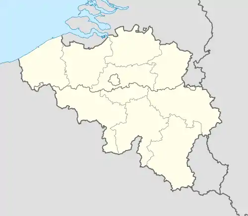 Brugelette Location in Belgium
Location of Brugelette in Hainaut 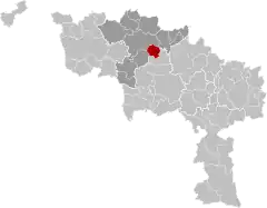 | |
| Coordinates: 50°36′N 03°51′E / 50.600°N 3.850°E | |
| Country | |
| Community | French Community |
| Region | Wallonia |
| Province | Hainaut |
| Arrondissement | Ath |
| Government | |
| • Mayor | André Desmarlières (Liste du Mayeur) |
| • Governing party/ies | Liste du Mayeur |
| Area | |
| • Total | 28.59 km2 (11.04 sq mi) |
| Population (2018-01-01)[1] | |
| • Total | 3,658 |
| • Density | 130/km2 (330/sq mi) |
| Postal codes | 7940-7943 |
| NIS code | 51012 |
| Area codes | 068 |
| Website | www |
Brugelette (French pronunciation: [bʁyʒlɛt] ⓘ; Picard: Brujlete; Walloon: Brudjlete) is a municipality of Wallonia located in the province of Hainaut, Belgium.
On January 1, 2006, Brugelette had a total population of 3,284. The total area is 28.40 km2 (10.97 sq mi) which gives a population density of 116 inhabitants per square kilometre (300/sq mi).
The municipality consists of the following districts: Attre, Brugelette, Cambron-Casteau, Gages, and Mévergnies-lez-Lens.
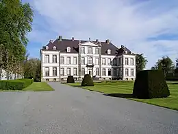
Attre castle
See also
- Attre Castle
- Pairi Daiza (zoo and botanical garden)
References
- ↑ "Wettelijke Bevolking per gemeente op 1 januari 2018". Statbel. Retrieved 9 March 2019.
External links
 Media related to Brugelette at Wikimedia Commons
- Official web site (in French)
| Ath | 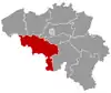 | |
|---|---|---|
| Charleroi | ||
| La Louvière | ||
| Mons | ||
| Soignies | ||
| Thuin | ||
| Tournai-Mouscron | ||
| ||
This article is issued from Wikipedia. The text is licensed under Creative Commons - Attribution - Sharealike. Additional terms may apply for the media files.