Palombaro | |
|---|---|
| Comune di Palombaro | |
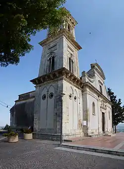 The Church of Our Lady | |
Location of Palombaro | |
 Palombaro Location of Palombaro in Italy 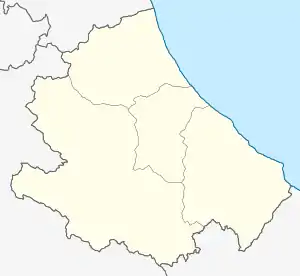 Palombaro Palombaro (Abruzzo) | |
| Coordinates: 42°7′N 14°14′E / 42.117°N 14.233°E | |
| Country | Italy |
| Region | Abruzzo |
| Province | Chieti (CH) |
| Frazioni | Caprafico, Limiti, Tornelli |
| Area | |
| • Total | 17 km2 (7 sq mi) |
| Elevation | 536 m (1,759 ft) |
| Population (2004)[2] | |
| • Total | 1,146 |
| • Density | 67/km2 (170/sq mi) |
| Demonym | Palombaresi |
| Time zone | UTC+1 (CET) |
| • Summer (DST) | UTC+2 (CEST) |
| Postal code | 66010 |
| Dialing code | 0871 |
| ISTAT code | 069062 |
| Patron saint | Madonna della Libera |
| Saint day | 3 November |
| Website | Official website |
Palombaro is a comune and town in the Province of Chieti in the Abruzzo region of Italy
See also
References
Wikimedia Commons has media related to Palombaro.
- ↑ "Superficie di Comuni Province e Regioni italiane al 9 ottobre 2011". Italian National Institute of Statistics. Retrieved 16 March 2019.
- ↑ All demographics and other statistics from the Italian statistical institute (Istat)
This article is issued from Wikipedia. The text is licensed under Creative Commons - Attribution - Sharealike. Additional terms may apply for the media files.