Oosterleek | |
|---|---|
Village | |
 | |
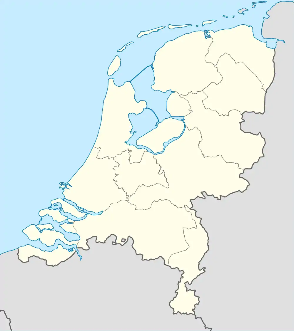 Oosterleek Location in the Netherlands 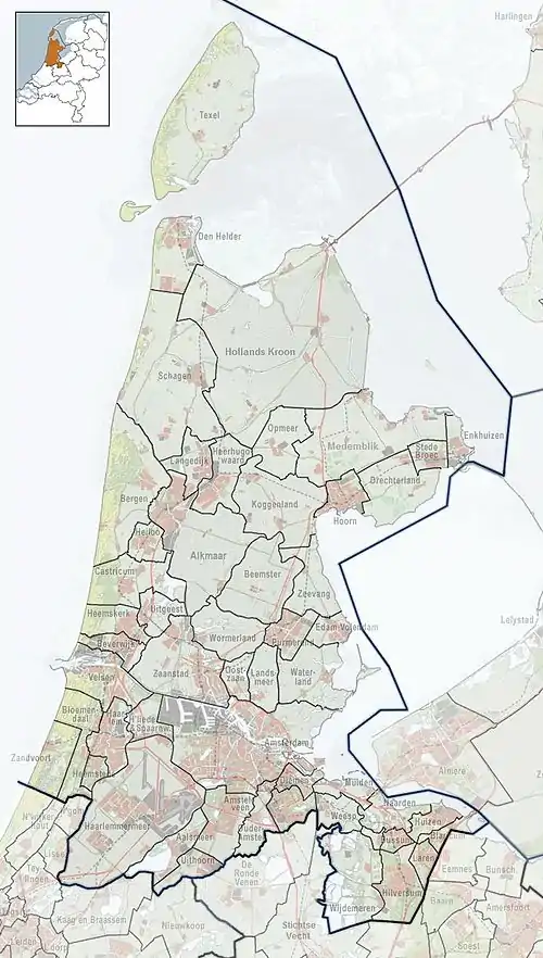 Oosterleek Location in the province of North Holland in the Netherlands | |
| Coordinates: 52°38′18″N 5°11′51″E / 52.63833°N 5.19750°E | |
| Country | Netherlands |
| Province | North Holland |
| Municipality | Drechterland |
| Area | |
| • Total | 1.05 km2 (0.41 sq mi) |
| Elevation | −0.6 m (−2.0 ft) |
| Population (2021)[1] | |
| • Total | 105 |
| • Density | 100/km2 (260/sq mi) |
| Time zone | UTC+1 (CET) |
| • Summer (DST) | UTC+2 (CEST) |
| Postal code | 1609[1] |
| Dialing code | 0229 |
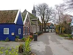
Oosterleek is a village in the municipality of Drechterland, in the Dutch province North Holland. The village used to belong to the municipalities Venhuizen (1970–2006) and Wijdenes (pre-1970).
Oosterleek was first noted on a map in 1311 as Oesterleke, in which oester means "eastern" and leke means "stream". This name was supposedly a reference to the fact that the village was located to the east of a stream.[3] During the 17th century, it was a fishing village which was home to a population of about 500 people.[4]
Nowadays, a small bit of Oosterleek lays in the Markermeer, because the levee was moved westwards to guarantee full safety. It is said that this part included a church. The current church was built in 1694. The church was decommissioned in 1972, and is nowadays used for weddings, expositions and concerts. It is also home to local library.[4]
Gallery
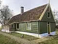 Wooden farm
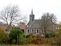 Church of Oosterleek
References
- 1 2 3 "Kerncijfers wijken en buurten 2021". Central Bureau of Statistics. Retrieved 29 April 2022.
- ↑ "Postcodetool for 1609GA". Actueel Hoogtebestand Nederland (in Dutch). Het Waterschapshuis. Retrieved 29 April 2022.
- ↑ "Oosterleek - (geografische naam)". Etymologiebank (in Dutch). Retrieved 29 April 2022.
- 1 2 "Oosterleek". Plaatsengids (in Dutch). Retrieved 29 April 2022.