Blokdijk | |
|---|---|
Hamlet | |
 | |
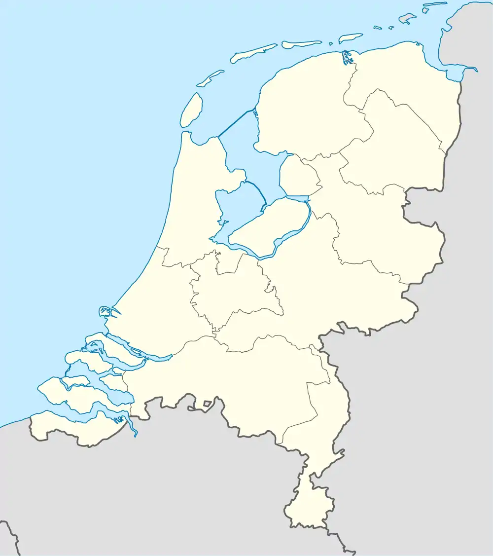 Blokdijk Location in the Netherlands 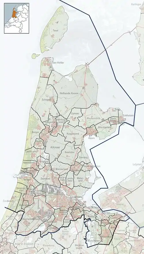 Blokdijk Location in the province of North Holland in the Netherlands | |
| Coordinates: 52°39′18″N 5°10′1″E / 52.65500°N 5.16694°E | |
| Country | Netherlands |
| Province | North Holland |
| Municipality | Drechterland |
| Area | |
| • Total | 1.38 km2 (0.53 sq mi) |
| Elevation | −1.0 m (−3.3 ft) |
| Population (2021)[1] | |
| • Total | 25 |
| • Density | 18/km2 (47/sq mi) |
| Time zone | UTC+1 (CET) |
| • Summer (DST) | UTC+2 (CEST) |
| Postal code | 1606[1] |
| Dialing code | 0228 |
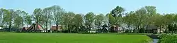
Blokdijk is a hamlet in the municipality of Drechterland, in the Dutch province of North Holland. Until 2006, Blokdijk was part of the municipality Venhuizen.[3]
Both Blokdijk and De Hout are formally a part of Wijdenes.[3] Blokdijk arose at the dyke from Hoorn to Venhuizen. It was first mentioned in 1402 as Block-dyck, and means "enclosed pasture near a dike".[4] Blokdijk does not have place name signs.[3]
Gallery
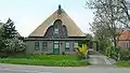 Farmhouse
References
- 1 2 3 "Kerncijfers wijken en buurten 2021". Central Bureau of Statistics. Retrieved 29 April 2022.
including De Hout
- ↑ "Postcodetool for 1606AA". Actueel Hoogtebestand Nederland (in Dutch). Het Waterschapshuis. Retrieved 29 April 2022.
- 1 2 3 "Blokdijk". Plaatsengids (in Dutch). Retrieved 29 April 2022.
- ↑ "Blokdijk - (geografische naam)". Etymologiebank (in Dutch). Retrieved 29 April 2022.
This article is issued from Wikipedia. The text is licensed under Creative Commons - Attribution - Sharealike. Additional terms may apply for the media files.