Old Jalukie
Jalukie (Old) | |
|---|---|
village | |
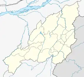 Old Jalukie Location in Nagaland, India  Old Jalukie Old Jalukie (India) | |
| Coordinates: 25°35′23″N 93°40′30″E / 25.589748°N 93.675094°E | |
| Country | India |
| State | Nagaland |
| District | Peren |
| Circle | Jalukie |
| Population (2011) | |
| • Total | 1,087 |
| Time zone | UTC+5:30 (IST) |
| Census code | 268321 |
Old Jalukie is a village in the Peren district of Nagaland, India. It is located in the Jalukie Circle.[1]
Demographics
According to the 2011 census of India, Old Jalukie has 190 households. The effective literacy rate (i.e. the literacy rate of the population excluding children aged 6 and below) is 95.38%.[2]
| Total | Male | Female | |
|---|---|---|---|
| Population | 1087 | 896 | 191 |
| Children aged below 6 years | 91 | 47 | 44 |
| Scheduled caste | 0 | 0 | 0 |
| Scheduled tribe | 158 | 111 | 47 |
| Literates | 950 | 835 | 115 |
| Workers (all) | 897 | 831 | 66 |
| Main workers (total) | 853 | 827 | 26 |
| Main workers: Cultivators | 34 | 16 | 18 |
| Main workers: Agricultural labourers | 1 | 0 | 1 |
| Main workers: Household industry workers | 8 | 8 | 0 |
| Main workers: Other | 810 | 803 | 7 |
| Marginal workers (total) | 44 | 4 | 40 |
| Marginal workers: Cultivators | 2 | 0 | 2 |
| Marginal workers: Agricultural labourers | 0 | 0 | 0 |
| Marginal workers: Household industry workers | 0 | 0 | 0 |
| Marginal workers: Others | 42 | 4 | 38 |
| Non-workers | 190 | 65 | 125 |
References
- ↑ "Nagaland revenue village directory" (PDF). Archived from the original (PDF) on 4 March 2016. Retrieved 22 July 2015.
- 1 2 "District Census Handbook - Peren" (PDF). 2011 Census of India. Directorate of Census Operations, Nagaland. Retrieved 22 July 2015.
This article is issued from Wikipedia. The text is licensed under Creative Commons - Attribution - Sharealike. Additional terms may apply for the media files.