Nová Ves u Chotěboře | |
|---|---|
 Nový Dvůr, a part of Nová Ves u Chotěboře | |
 Flag  Coat of arms | |
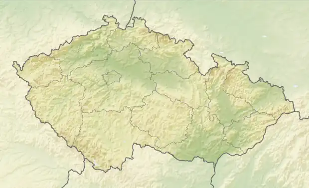 Nová Ves u Chotěboře Location in the Czech Republic | |
| Coordinates: 49°45′22″N 15°38′53″E / 49.75611°N 15.64806°E | |
| Country | |
| Region | Vysočina |
| District | Havlíčkův Brod |
| Founded | 1288 |
| Area | |
| • Total | 12.42 km2 (4.80 sq mi) |
| Elevation | 404 m (1,325 ft) |
| Population (2023-01-01)[1] | |
| • Total | 533 |
| • Density | 43/km2 (110/sq mi) |
| Time zone | UTC+1 (CET) |
| • Summer (DST) | UTC+2 (CEST) |
| Postal codes | 582 73, 583 01 |
| Website | www |
Nová Ves u Chotěboře is a municipality and village in Havlíčkův Brod District in the Vysočina Region of the Czech Republic. It has about 500 inhabitants.
Nová Ves u Chotěboře lies approximately 17 kilometres (11 mi) north of Havlíčkův Brod, 40 km (25 mi) north of Jihlava, and 96 km (60 mi) south-east of Prague.
Administrative parts
The village of Nový Dvůr is an administrative part of Nová Ves u Chotěboře.
History
Nová Ves u Chotěboře was founded in 1288 by knight Mstislav. It was originally called Fojtova Ves and later it was renamed.[2]
References
- ↑ "Population of Municipalities – 1 January 2023". Czech Statistical Office. 2023-05-23.
- ↑ "Historie" (in Czech). Obec Nová Ves u Chotěboře. Retrieved 2022-05-04.
Wikimedia Commons has media related to Nová Ves u Chotěboře.
This article is issued from Wikipedia. The text is licensed under Creative Commons - Attribution - Sharealike. Additional terms may apply for the media files.