Bartoušov | |
|---|---|
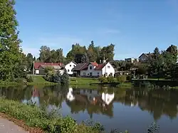 Centre of Bartoušov | |
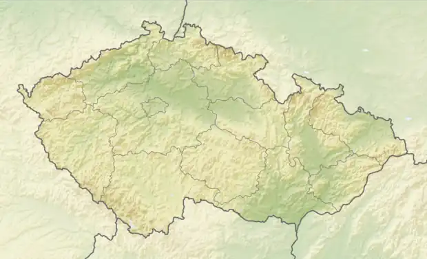 Bartoušov Location in the Czech Republic | |
| Coordinates: 49°34′52″N 15°38′49″E / 49.58111°N 15.64694°E | |
| Country | |
| Region | Vysočina |
| District | Havlíčkův Brod |
| First mentioned | 1281 |
| Area | |
| • Total | 5.92 km2 (2.29 sq mi) |
| Elevation | 474 m (1,555 ft) |
| Population (2023-01-01)[1] | |
| • Total | 177 |
| • Density | 30/km2 (77/sq mi) |
| Time zone | UTC+1 (CET) |
| • Summer (DST) | UTC+2 (CEST) |
| Postal code | 580 01 |
| Website | www |
Bartoušov (Czech pronunciation: [ˈbartouʃof]) is a municipality and village in Havlíčkův Brod District in the Vysočina Region of the Czech Republic. It has about 200 inhabitants.
Bartoušov lies approximately 6 kilometres (4 mi) south-east of Havlíčkův Brod, 21 km (13 mi) north of Jihlava, and 105 km (65 mi) south-east of Prague.
References
Wikimedia Commons has media related to Bartoušov.
This article is issued from Wikipedia. The text is licensed under Creative Commons - Attribution - Sharealike. Additional terms may apply for the media files.