Naddah
ندة | |
|---|---|
Village | |
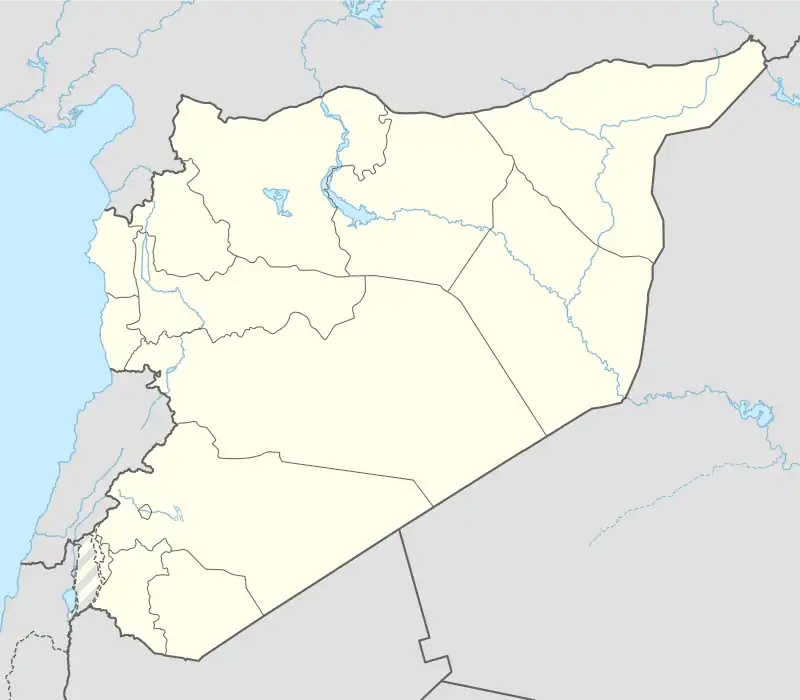 Naddah Location of Naddah in Syria | |
| Coordinates: 36°35′03″N 37°05′20″E / 36.5842°N 37.0889°E | |
| Country | |
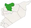
| Governorate | Aleppo |
| District | Azaz |
| Subdistrict | Azaz |
| Population (2004)[1] | 305 |
| Time zone | UTC+2 (EET) |
| • Summer (DST) | UTC+3 (EEST) |
| Geocode | C1572 |
Naddah (Arabic: ندة) is a village in northern Aleppo Governorate, northwestern Syria. It is located 3 kilometres (1.9 mi) east of Azaz on the Queiq Plain, 40 km (25 mi) north of the city of Aleppo, and 6 km (3.7 mi) south of the border with the Turkish province of Kilis.
The village administratively belongs to Nahiya Azaz in Azaz District. Nearby localities include Nayarah 3 km (1.9 mi) to the northeast, and Yahmul 4 km (2.5 mi) to the east. In the 2004 census, Naddah had a population of 305.[1]
References
- 1 2 "2004 Census Data for Nahiya Azaz" (in Arabic). Syrian Central Bureau of Statistics. Also available in English: UN OCHA. "2004 Census Data". Humanitarian Data Exchange.
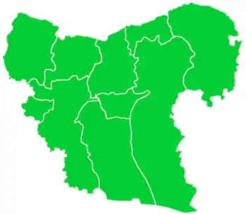
Capital: Aleppo | ||||||||||||||||||||
|   | |||||||||||||||||||
|
| ||||||||||||||||||||
| ||||||||||||||||||||
| ||||||||||||||||||||
| ||||||||||||||||||||
| ||||||||||||||||||||
| ||||||||||||||||||||
| ||||||||||||||||||||
| ||||||||||||||||||||
This article is issued from Wikipedia. The text is licensed under Creative Commons - Attribution - Sharealike. Additional terms may apply for the media files.