Marma al-Hajar
مرمى الحجر Dhashtan | |
|---|---|
Village | |
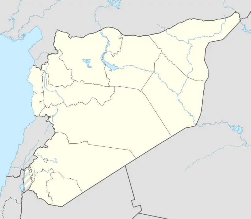 Marma al-Hajar Location of Marma al-Hajar in Syria | |
| Coordinates: 36°46′57″N 37°59′37″E / 36.7825°N 37.9936°E | |
| Country | |
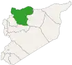
| Governorate | Aleppo |
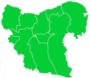
| District | Jarabulus |
| Subdistrict | Jarabulus |
| Elevation | 329 m (1,079 ft) |
| Population (2004)[1] | 1,818 |
| Time zone | UTC+2 (EET) |
| • Summer (DST) | UTC+3 (EEST) |
| Geocode | C2238 |
Marma al-Hajar (Arabic: مرمى الحجر, romanized: Marmā al-Ḥajar), originally Dashatan (Arabic: طاش اوتان, romanized: Ṭāsh Awtān; Turkish: Taşatan, lit. 'stone thrower'), is a village in northern Aleppo Governorate, northern Syria. Situated on the northern Manbij Plain, bordering the Jarabulus Plain's wetlands towards river Euphrates, the village is located 3 km (1.9 mi) to the south of Jarabulus, and about 4 km (2.5 mi) south of the border to the Turkish province of Gaziantep. It is inhabited by Turkmen of the Barak tribe.[2][3]
With 1,818 inhabitants, as per the 2004 census, Marma al-Hajar administratively belongs to Nahiya Jarabulus within Jarabulus District.[1] Nearby localities include al-Jamel 2 km (1.2 mi) to the southeast, and Jarabulus Tahtani 3 km (1.9 mi) to the northeast.
References
- 1 2 "2004 Census Data for Nahiya Jarabulus" (in Arabic). Syrian Central Bureau of Statistics. Also available in English: UN OCHA. "2004 Census Data". Humanitarian Data Exchange.
- ↑ Tanyol, Cahit (1952). "Baraklarda Örf ve Adet Araştırmaları 1". İstanbul University Journal of Sociology. 2 (7): 89. Retrieved 13 April 2023.
- ↑ Suriye'de Değişimin Ortaya Çıkardığı Toplum: Suriye Türkmenleri (PDF) (Report). ORSAM. 14 November 2011. p. 11. Retrieved 14 April 2023.
Capital: Aleppo | ||||||||||||||||||||
|   | |||||||||||||||||||
|
| ||||||||||||||||||||
| ||||||||||||||||||||
| ||||||||||||||||||||
| ||||||||||||||||||||
| ||||||||||||||||||||
| ||||||||||||||||||||
| ||||||||||||||||||||
| ||||||||||||||||||||