Monte Belo do Sul | |
|---|---|
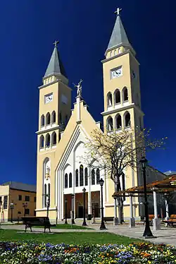 Catholic church in Monte Belo do Sul | |
 Flag  Coat of arms | |
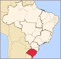
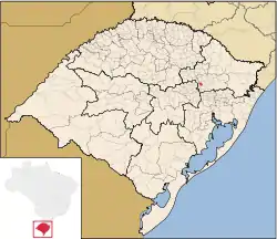 Monte Belo do Sul within the state of Rio Grande do Sul | |
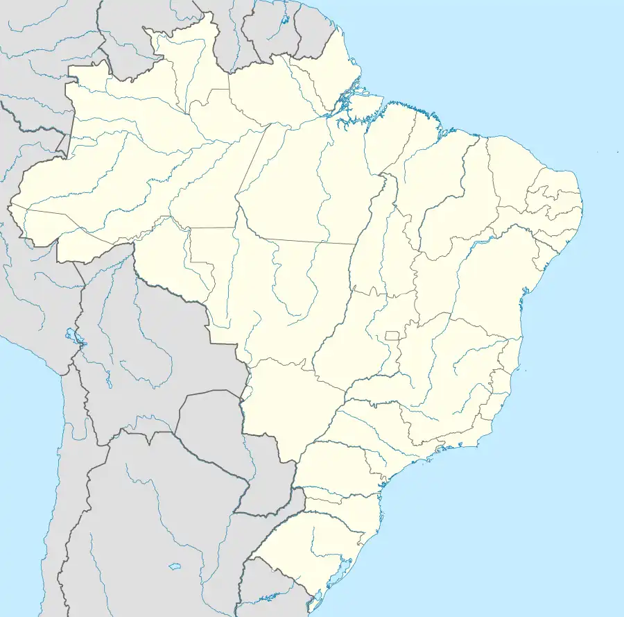 Monte Belo do Sul Location within Brazil 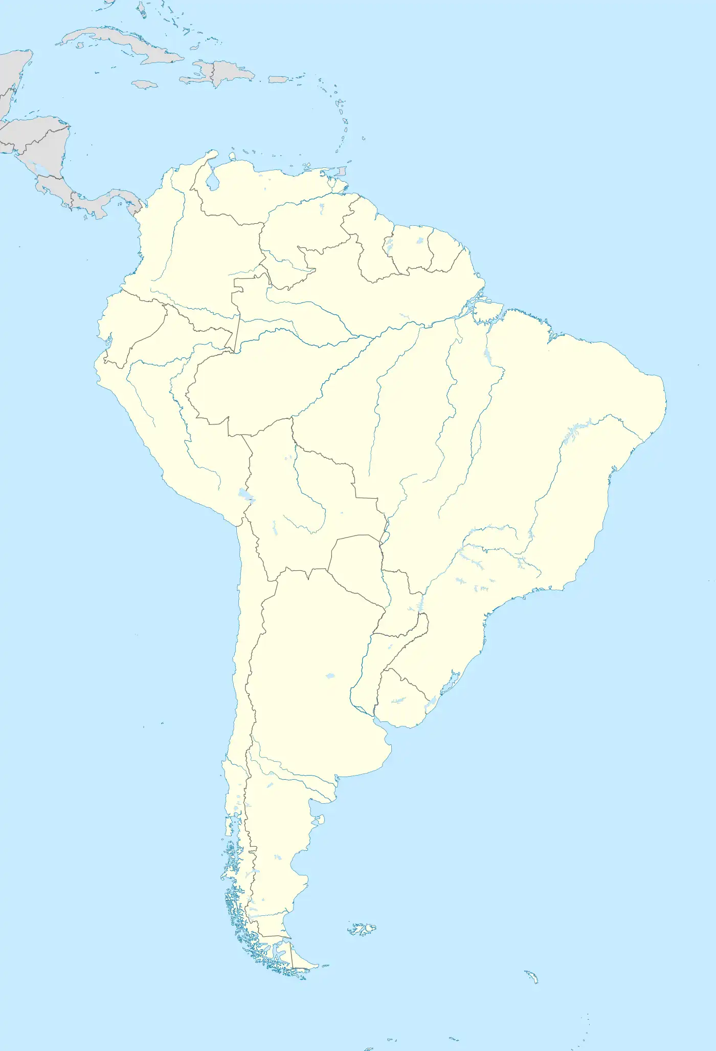 Monte Belo do Sul Location within South America | |
| Coordinates: 29°09′46″S 51°37′55″W / 29.16277°S 51.63194°W | |
| Country | Brazil |
| Region | South |
| State | Rio Grande do Sul |
| Area | |
| • Total | 69.726 km2 (26.921 sq mi) |
| Population | |
| • Estimate (2020) | 2,530 |
| Demonym | Monte-belense |
Monte Belo do Sul is a municipality in the state of Rio Grande do Sul, Brazil, in the Serra Gaúcha. As of 2020, the estimated population was 2,530, and the area of the municipality was 69.726 km².[1]
See also
References
29°09′46″S 51°37′55″W / 29.16278°S 51.63194°W
This article is issued from Wikipedia. The text is licensed under Creative Commons - Attribution - Sharealike. Additional terms may apply for the media files.