Khetia
Khetiya | |
|---|---|
city | |
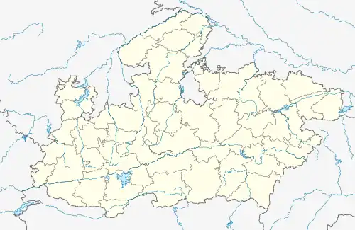 Khetia Location in Madhya Pradesh, India 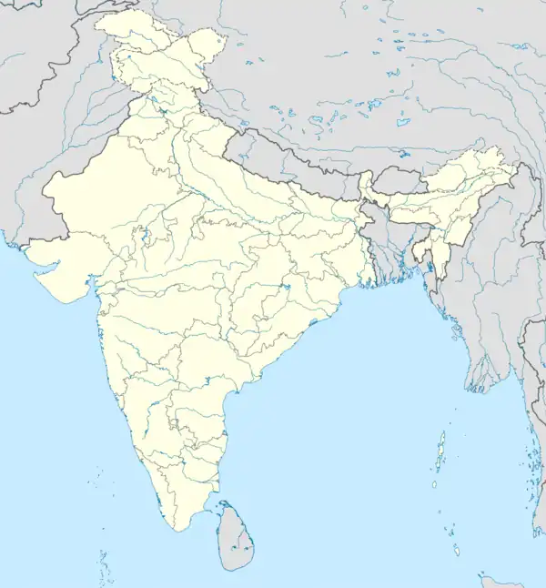 Khetia Khetia (India) | |
| Coordinates: 21°40′24″N 74°35′13″E / 21.67333°N 74.58694°E | |
| Country | |
| State | Madhya Pradesh |
| District | Barwani |
| Government | |
| • Type | Mayor-Council |
| • Body | Nagar Panchayat Parishad |
| • Chairman | dashrath nikum (BJP) |
| Population (2012) | |
| • Total | 60,007 |
| Languages | |
| • Official | Hindi Ahirani |
| Time zone | UTC+5:30 (IST) |
| Telephone code | 91-7286 |
| ISO 3166 code | IN-MP |
| Vehicle registration | MP |
Khetia is a town and a nagar panchayat (municipal council) in the Barwani district in the Indian central western state of Madhya Pradesh.
Demographics
In the 1990 census of India,[1] Khetia had a population of 14,265. Males constituted 52% and females 48%. Khetia had an average literacy rate of 66%, higher than the national average of 59.5%: male literacy was 75% and female literacy was 58%. 15% of the population was below age six.
As of the 2011 Census of India[2] the population was 15,744, with 8,148 (51.7%) male and 7.596 (48.2%) female; the average literacy rate was 70.1%, with male literacy at 75.6% and female literacy at 64.3%. 12.9% of the population was below age six.[2]
References
- ↑ "Census of India 2001: Data from the 2001 Census, including cities, villages and towns (Provisional)". Census Commission of India. Retrieved 1 November 2008.
- 1 2 https://censusindia.gov.in/pca/SearchDetails.aspx?Id=536545
This article is issued from Wikipedia. The text is licensed under Creative Commons - Attribution - Sharealike. Additional terms may apply for the media files.