Bandheri | |
|---|---|
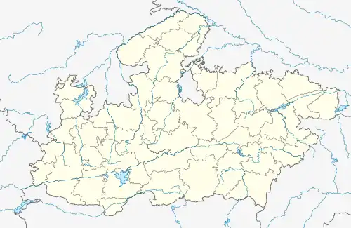 Bandheri Location in Madhya Pradesh, India | |
| Coordinates: 22°37′0″N 75°7′0″E / 22.61667°N 75.11667°E | |
| Country | |
| State | Madhya Pradesh |
| District | Dhar |
| Elevation | 557 m (1,827 ft) |
| Languages | |
| • Official | Hindi |
| Time zone | UTC+5:30 (IST) |
| ISO 3166 code | IN-MP |
| Vehicle registration | MP |
| Coastline | 0 kilometres (0 mi) |
| Nearest city | Dhar |
Bandheri is a town, near Dhar city in Dhar district of Madhya Pradesh, India.
Geography
It is located at 22°37′0″N 75°7′0″E / 22.61667°N 75.11667°E at an elevation of 557m.[1]
Location
National Highway 59 passes through Bandheri. It is at a distance of 25 km from Dhar. The nearest airport is Devi Ahilyabai Holkar Airport at Indore.
Places of interest
- Sardarpur Sanctuary
- Darwazas
- Bagh Caves
- Bagh Print
References
- ↑ http://www.fallingrain.com/world/IN/35/Bandheri.html Map and weather of Bandheri
External links
This article is issued from Wikipedia. The text is licensed under Creative Commons - Attribution - Sharealike. Additional terms may apply for the media files.