| Scottish Gaelic name | Hesgeir Eagach |
|---|---|
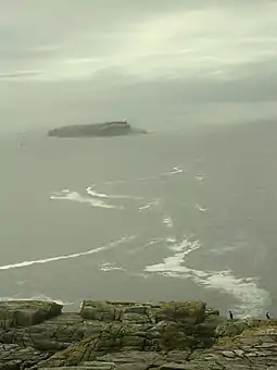 Haskeir Eagach from Haskeir Lighthouse | |
| Location | |
 Haskeir Eagach | |
| OS grid reference | NF 59699 81000 |
| Coordinates | 57°42′N 7°42′W / 57.7°N 7.7°W |
| Physical geography | |
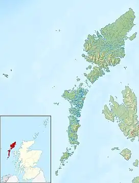
| Island group | Uist and Barra |
| Administration | |
| Sovereign state | United Kingdom |
| Country | Scotland |
| Council area | Na h-Eileanan Siar |
| Demographics | |
| Population | 0 |
| References | [1] |
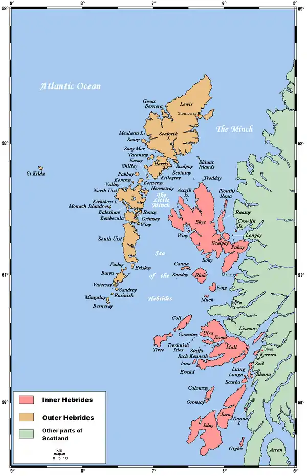
Haskeir Eagach is an uninhabited group of skerries, located two kilometres (1+1⁄4 miles) southwest of Haskeir[2] in the Outer Hebrides, Scotland.
See also
Notes and references
- ↑ Ordnance Survey "Get-a-Map"
- ↑ "Haskeir Island". Gazetteer for Scotland. Retrieved 28 October 2020.
57°41′53″N 7°41′04″W / 57.69807°N 7.68447°W
This article is issued from Wikipedia. The text is licensed under Creative Commons - Attribution - Sharealike. Additional terms may apply for the media files.