| Scottish Gaelic name | Gioghaigh |
|---|---|
| Meaning of name | Old Norse: Gydha's island |
| Location | |
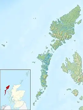 Gighay Gighay shown within the Outer Hebrides | |
| OS grid reference | NF764049 |
| Coordinates | 57°01′N 7°20′W / 57.02°N 7.33°W |
| Physical geography | |
| Island group | Uists and Barra |
| Area | 96 ha (240 acres) |
| Area rank | 152 [1] |
| Highest elevation | Mullach a' Charnain 95 m (312 ft) |
| Administration | |
| Sovereign state | United Kingdom |
| Country | Scotland |
| Council area | Na h-Eileanan Siar |
| Demographics | |
| Population | 0 |
| References | [2][3][4] |
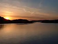
The harbour near Gioghaigh
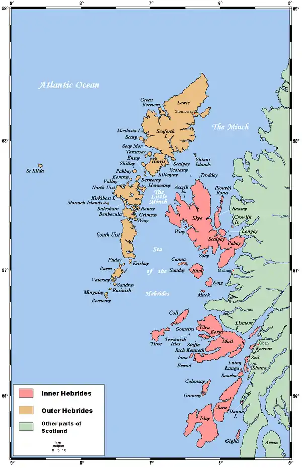
Gighay (Scottish Gaelic Gioghaigh) an uninhabited island off the northeast coast of Barra. It is one of ten islands in the Sound of Barra, a Site of Community Importance for conservation in the Outer Hebrides of Scotland.
Geography and geology
Gighay lies in the Sound of Barra between Barra and Eriskay, 2+1⁄2 miles (4 kilometres) southwest of Fuday. One of a string of islands between South Uist and Barra, Gighay is "locked" into its neighbour Hellisay, with a harbour between. It is mainly gneiss with quartz veins.[3] Gighay has an area of 96 hectares (240 acres) and rises steeply to 95 metres (312 feet).
Gighay is owned by the Scottish Ministers (i.e. the Scottish government).[5]
Notes and references
- ↑ Area and population ranks: there are c. 300 islands over 20 ha in extent and 93 permanently inhabited islands were listed in the 2011 census.
- ↑ National Records of Scotland (15 August 2013). "Appendix 2: Population and households on Scotland's Inhabited Islands" (PDF). Statistical Bulletin: 2011 Census: First Results on Population and Household Estimates for Scotland Release 1C (Part Two) (PDF) (Report). SG/2013/126. Retrieved 14 August 2020.
- 1 2 Haswell-Smith, Hamish (2004). The Scottish Islands. Edinburgh: Canongate. ISBN 978-1-84195-454-7.
- ↑ Ordnance Survey. OS Maps Online (Map). 1:25,000. Leisure.
- ↑ "Overview of Gighay". Gazetteer for Scotland. Retrieved 15 December 2007.
57°1′15″N 7°20′0″W / 57.02083°N 7.33333°W
This article is issued from Wikipedia. The text is licensed under Creative Commons - Attribution - Sharealike. Additional terms may apply for the media files.