Grand-Camp | |
|---|---|
Location of Grand-Camp | |
 Grand-Camp 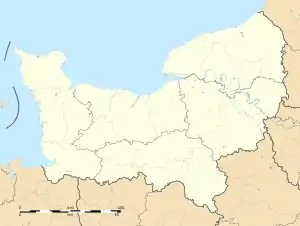 Grand-Camp | |
| Coordinates: 49°02′46″N 0°31′40″E / 49.0461°N 0.5278°E | |
| Country | France |
| Region | Normandy |
| Department | Eure |
| Arrondissement | Bernay |
| Canton | Breteuil |
| Government | |
| • Mayor (2020–2026) | Philippe Boullier[1] |
| Area 1 | 14.11 km2 (5.45 sq mi) |
| Population | 462 |
| • Density | 33/km2 (85/sq mi) |
| Time zone | UTC+01:00 (CET) |
| • Summer (DST) | UTC+02:00 (CEST) |
| INSEE/Postal code | 27295 /27270 |
| Elevation | 135–187 m (443–614 ft) (avg. 189 m or 620 ft) |
| 1 French Land Register data, which excludes lakes, ponds, glaciers > 1 km2 (0.386 sq mi or 247 acres) and river estuaries. | |
Grand-Camp (French pronunciation: [ɡʁɑ̃ kɑ̃]) is a commune in the Eure department in northern France.
Population
| Year | Pop. | ±% |
|---|---|---|
| 1962 | 267 | — |
| 1968 | 298 | +11.6% |
| 1975 | 334 | +12.1% |
| 1982 | 471 | +41.0% |
| 1990 | 485 | +3.0% |
| 1999 | 453 | −6.6% |
| 2008 | 437 | −3.5% |
See also
References
- ↑ "Répertoire national des élus: les maires". data.gouv.fr, Plateforme ouverte des données publiques françaises (in French). 2 December 2020.
- ↑ "Populations légales 2021". The National Institute of Statistics and Economic Studies. 28 December 2023.
Wikimedia Commons has media related to Grand-Camp (Eure).
This article is issued from Wikipedia. The text is licensed under Creative Commons - Attribution - Sharealike. Additional terms may apply for the media files.