Esbly | |
|---|---|
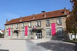 The town hall in Esbly | |
.svg.png.webp) Coat of arms | |
Location of Esbly | |
 Esbly 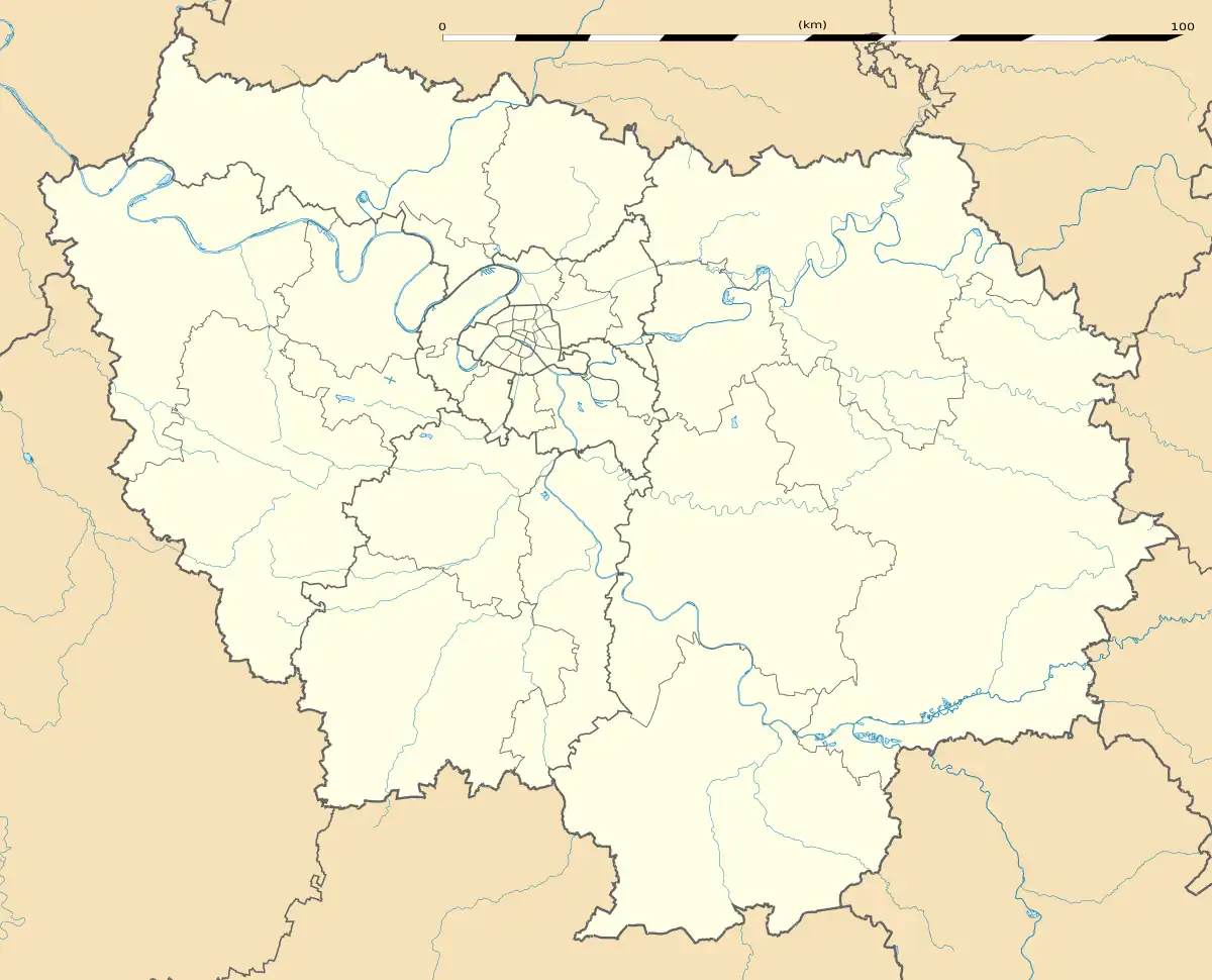 Esbly | |
| Coordinates: 48°54′24″N 2°48′45″E / 48.9067°N 2.8125°E | |
| Country | France |
| Region | Île-de-France |
| Department | Seine-et-Marne |
| Arrondissement | Torcy |
| Canton | Serris |
| Intercommunality | Val d'Europe Agglomération |
| Government | |
| • Mayor (2020–2026) | Ghislain Delvaux[1] |
| Area 1 | 3.12 km2 (1.20 sq mi) |
| Population | 6,402 |
| • Density | 2,100/km2 (5,300/sq mi) |
| Time zone | UTC+01:00 (CET) |
| • Summer (DST) | UTC+02:00 (CEST) |
| INSEE/Postal code | 77171 /77450 |
| Elevation | 42–111 m (138–364 ft) |
| 1 French Land Register data, which excludes lakes, ponds, glaciers > 1 km2 (0.386 sq mi or 247 acres) and river estuaries. | |
Esbly (French: [ɛsbli] ⓘ) is a commune in the Seine-et-Marne department in the Île-de-France region in north-central France.
Demographics
Inhabitants of Esbly are called Esblygeois in French.
| Year | Pop. | ±% p.a. |
|---|---|---|
| 1968 | 2,433 | — |
| 1975 | 4,035 | +7.49% |
| 1982 | 4,218 | +0.64% |
| 1990 | 4,488 | +0.78% |
| 1999 | 5,131 | +1.50% |
| 2007 | 5,552 | +0.99% |
| 2012 | 6,004 | +1.58% |
| 2017 | 6,220 | +0.71% |
| Source: INSEE[3] | ||
Education
There are four primary schools in Esbly: École maternelle Les Couleurs (preschool), École maternelle des Champs-Forts (preschool), École élémentaire du Centre (elementary school), and École élémentaire des Champs-Forts (elementary school). There is one junior high school, Collège Louis Braille.[4]
See also
References
- ↑ "Répertoire national des élus: les maires" (in French). data.gouv.fr, Plateforme ouverte des données publiques françaises. 13 September 2022.
- ↑ "Populations légales 2021". The National Institute of Statistics and Economic Studies. 28 December 2023.
- ↑ Population en historique depuis 1968, INSEE
- ↑ "Ecoles." Esbly. Retrieved on September 3, 2016.
External links
Wikimedia Commons has media related to Esbly.
- Home page (in French)
- 1999 Land Use, from IAURIF (Institute for Urban Planning and Development of the Paris-Île-de-France région) (in English)
- Base Mérimée: Search for heritage in the commune, Ministère français de la Culture. (in French)
This article is issued from Wikipedia. The text is licensed under Creative Commons - Attribution - Sharealike. Additional terms may apply for the media files.