Doucoumbo | |
|---|---|
Commune and village | |
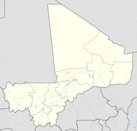 Doucoumbo Location in Mali | |
| Coordinates: 14°21′18″N 3°39′22″W / 14.35500°N 3.65611°W | |
| Country | |
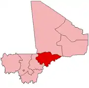
| Region | Mopti Region |
| Cercle | Bandiagara Cercle |
| Population (2009 census)[1] | |
| • Total | 11,510 |
| Time zone | UTC+0 (GMT) |
Doucoumbo or Doucombo is a village and rural commune in the Bandiagara Cercle of the Mopti Region of Mali. The commune contains 24 villages and at the time of the 2009 census had a population of 11,510. The village of Doucoumbo is 5 km west of Bandiagara on the RN15 that links Bandiagara to Sévaré.
References
- ↑ Resultats Provisoires RGPH 2009 (Région de Mopti) (PDF) (in French), République de Mali: Institut National de la Statistique, archived from the original (PDF) on 2012-07-27.
External links
- Plan de Sécurité Alimentaire Commune Rurale de Doucombo 2006-2010 (PDF) (in French), Commissariat à la Sécurité Alimentaire, République du Mali, USAID-Mali, 2006, archived from the original (PDF) on 2012-08-30, retrieved 2012-04-25.
This article is issued from Wikipedia. The text is licensed under Creative Commons - Attribution - Sharealike. Additional terms may apply for the media files.