Bertogne
| |
|---|---|
 The St Lambert's church area of Bertogne | |
 Flag  Coat of arms | |
Location of Bertogne | |
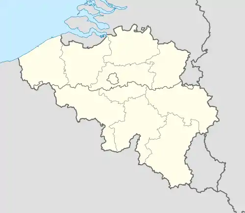 Bertogne Location in Belgium
Location of Bertogne in Luxembourg province 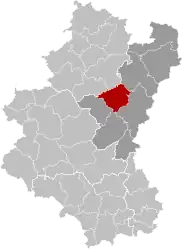 | |
| Coordinates: 50°05′N 05°40′E / 50.083°N 5.667°E | |
| Country | |
| Community | French Community |
| Region | Wallonia |
| Province | Luxembourg |
| Arrondissement | Bastogne |
| Government | |
| • Mayor | Jean-Marc Franco |
| • Governing party/ies | Gestion Communale |
| Area | |
| • Total | 91.66 km2 (35.39 sq mi) |
| Population (2018-01-01)[1] | |
| • Total | 3,579 |
| • Density | 39/km2 (100/sq mi) |
| Postal codes | 6686-6688 |
| NIS code | 82005 |
| Area codes | 061 |
| Website | www.bertogne.be |
Bertogne (French pronunciation: [bɛʁtɔɲ]; Walloon: Biertogne) is a municipality of Wallonia located in the province of Luxembourg, Belgium.
On 1 January 2007 the municipality, which covers 91.67 km², had 3,002 inhabitants, giving a population density of 32.7 inhabitants per km².
The municipality consists of the following districts: Bertogne, Flamierge, and Longchamps.
Other population centers include:
- Bethomont
- Compogne
- Berhain
- Frenet
- Gives
- Givroulle
- Givry
- Roumont
- Salle
- Troismont
- Tronle
- Wigny
- Champs
- Fays
- Flamisoul
- Mande-Saint-Étienne
- Monaville
- Rolley
- Rouette
- Withimont
See also
References
- ↑ "Wettelijke Bevolking per gemeente op 1 januari 2018". Statbel. Retrieved 9 March 2019.
External links
 Media related to Bertogne at Wikimedia Commons
Places adjacent to Bertogne | |
|---|---|
Municipalities of the province of Luxembourg, Wallonia | ||
|---|---|---|
| Arlon | 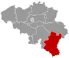 | |
| Bastogne | ||
| Marche-en-Famenne | ||
| Neufchâteau | ||
| Virton | ||
Bold indicates cities | ||
This article is issued from Wikipedia. The text is licensed under Creative Commons - Attribution - Sharealike. Additional terms may apply for the media files.