Beaulieu | |
|---|---|
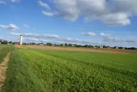 A general view of Beaulieu | |
Location of Beaulieu | |
 Beaulieu 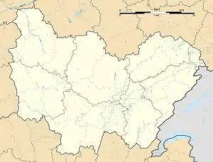 Beaulieu | |
| Coordinates: 47°15′25″N 3°31′41″E / 47.2569°N 3.5281°E | |
| Country | France |
| Region | Bourgogne-Franche-Comté |
| Department | Nièvre |
| Arrondissement | Clamecy |
| Canton | Corbigny |
| Government | |
| • Mayor (2020–2026) | Bertrand Ravoir[1] |
| Area 1 | 15.54 km2 (6.00 sq mi) |
| Population | 142 |
| • Density | 9.1/km2 (24/sq mi) |
| Time zone | UTC+01:00 (CET) |
| • Summer (DST) | UTC+02:00 (CEST) |
| INSEE/Postal code | 58026 /58420 |
| Elevation | 218–296 m (715–971 ft) |
| 1 French Land Register data, which excludes lakes, ponds, glaciers > 1 km2 (0.386 sq mi or 247 acres) and river estuaries. | |
Beaulieu (French pronunciation: [boljø] ⓘ) is a commune in the Nièvre department in central France.[3] On 1 January 2016, the former communes Dompierre-sur-Héry and Michaugues were merged into Beaulieu.[4]
Population
| Year | Pop. | ±% p.a. |
|---|---|---|
| 1968 | 239 | — |
| 1975 | 221 | −1.11% |
| 1982 | 198 | −1.56% |
| 1990 | 172 | −1.74% |
| 1999 | 183 | +0.69% |
| 2009 | 172 | −0.62% |
| 2014 | 167 | −0.59% |
| 2020 | 141 | −2.78% |
| Source: INSEE[5] | ||
See also
References
- ↑ "Répertoire national des élus: les maires". data.gouv.fr, Plateforme ouverte des données publiques françaises (in French). 2 December 2020.
- ↑ "Populations légales 2021". The National Institute of Statistics and Economic Studies. 28 December 2023.
- ↑ INSEE commune file
- ↑ Arrêté préfectoral Archived 8 March 2022 at the Wayback Machine 1 October 2015 (in French)
- ↑ Population en historique depuis 1968, INSEE
Wikimedia Commons has media related to Beaulieu (Nièvre).
This article is issued from Wikipedia. The text is licensed under Creative Commons - Attribution - Sharealike. Additional terms may apply for the media files.