Bambari Airport | |||||||||||
|---|---|---|---|---|---|---|---|---|---|---|---|
| Summary | |||||||||||
| Airport type | Public | ||||||||||
| Serves | Bambari, Central African Republic | ||||||||||
| Elevation AMSL | 1,558 ft / 475 m | ||||||||||
| Coordinates | 5°50′50″N 20°39′00″E / 5.84722°N 20.65000°E | ||||||||||
| Map | |||||||||||
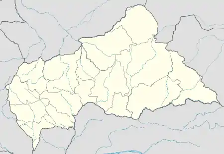 BBY Location of Bambari Airport in the Central African Republic | |||||||||||
| Runways | |||||||||||
| |||||||||||
Bambari Airport (IATA: BBY, ICAO: FEFM) is an airport serving Bambari, a city in the Ouaka prefecture of the Central African Republic.
The airport is in the countryside 9 kilometres (5.6 mi) north-northwest of Bambari, on the opposite side of the Ouaka River.
The Bambari non-directional beacon (Ident: BM) is located on the field.[4]
See also
References
- ↑ Airport record for Bambari Airport at Landings.com. Retrieved 2013-08-25
- ↑ Google (2013-08-25). "location of Bambari Airport" (Map). Google Maps. Google. Retrieved 2013-08-25.
- ↑ Airport information for Bambari Airport at Great Circle Mapper.
- ↑ "Bambari NDB". SkyVector. Retrieved 29 July 2018.
External links
- OpenStreetMap - Bambari Airport
- SkyVector - Bambari Airport
- OurAirports - Bambari Airport
- Accident history for Bambari Airport at Aviation Safety Network
This article is issued from Wikipedia. The text is licensed under Creative Commons - Attribution - Sharealike. Additional terms may apply for the media files.