Bátaapáti | |
|---|---|
Village | |
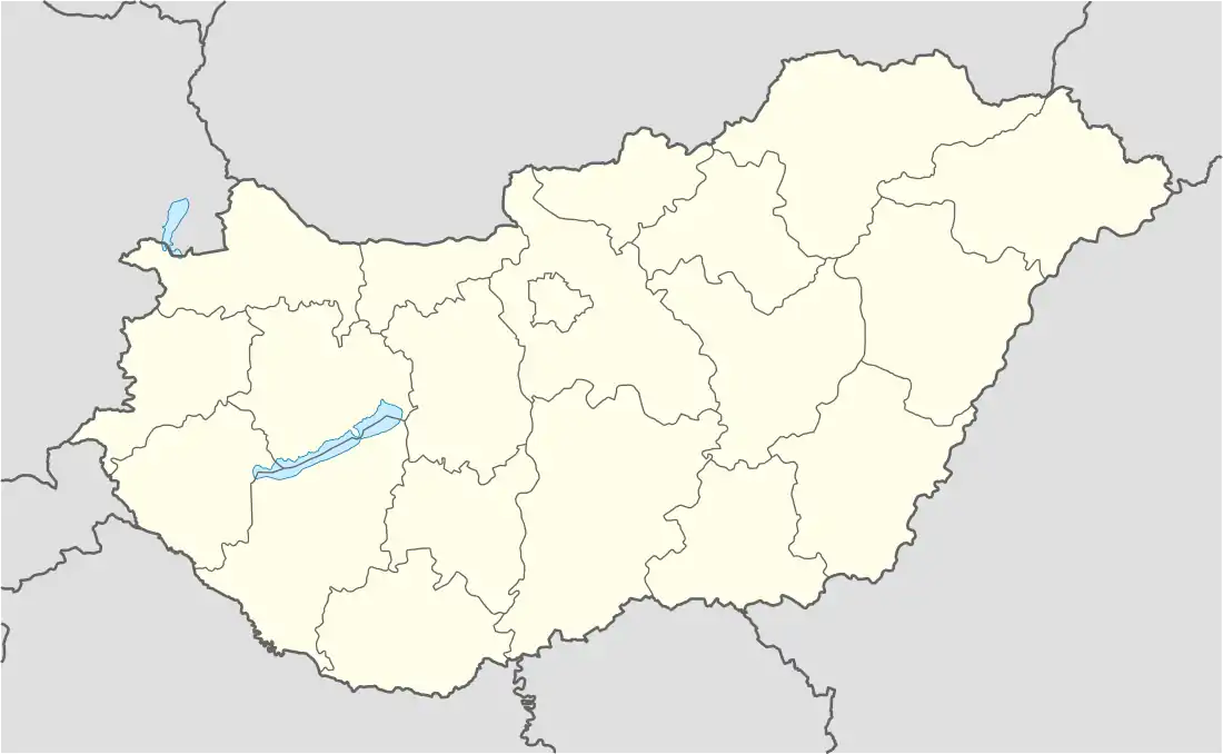 Bátaapáti Location in Hungary | |
| Coordinates: 46°13′20″N 18°36′01″E / 46.222272°N 18.600239°E | |
| Country | |
| Region | Southern Transdanubia |
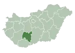
| County | Tolna |
| District | Bonyhád |
| Area | |
| • Total | 20.44 km2 (7.89 sq mi) |
| Population (2022)[1] | |
| • Total | 362 |
| • Density | 18/km2 (46/sq mi) |
| Time zone | UTC+1 (CET) |
| • Summer (DST) | UTC+2 (CEST) |
| KSH code | 28909[1] |
Bátaapáti is a village in Tolna County, Hungary.
References
- 1 2 3 "Bátaapáti". Detailed Gazetteer of Hungary. Hungarian Central Statistical Office. Retrieved 2024-01-15.
| Towns (2) |
| |
|---|---|---|
| Villages (23) | ||
| City with county rights |
|   |
|---|---|---|
| Towns | ||
| Large villages | ||
| Villages |
| |
| Other topics |
| |
This article is issued from Wikipedia. The text is licensed under Creative Commons - Attribution - Sharealike. Additional terms may apply for the media files.