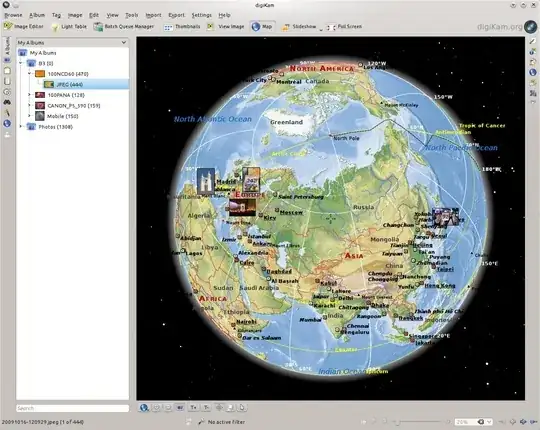
Dad got a camera with built in GPS. The GPS info is embeded in the EXIF data, I guess. Picasa 3 puts a small "icon" on each of the geotagged photos, but can not do anything with them (as far as I can tell).
Is there any photo manager or mapping tool that can put these pictures on a map and/or let him browse trough the photos based on location?
