Zlámanec | |
|---|---|
 Municipal office | |
 Flag  Coat of arms | |
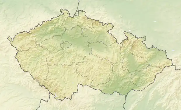 Zlámanec Location in the Czech Republic | |
| Coordinates: 49°7′47″N 17°37′42″E / 49.12972°N 17.62833°E | |
| Country | |
| Region | Zlín |
| District | Uherské Hradiště |
| First mentioned | 1392 |
| Area | |
| • Total | 8.12 km2 (3.14 sq mi) |
| Elevation | 254 m (833 ft) |
| Population (2023-01-01)[1] | |
| • Total | 338 |
| • Density | 42/km2 (110/sq mi) |
| Time zone | UTC+1 (CET) |
| • Summer (DST) | UTC+2 (CEST) |
| Postal code | 687 12 |
| Website | www |
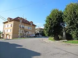
Zlámanec is a municipality and village in Uherské Hradiště District in the Zlín Region of the Czech Republic. It has about 300 inhabitants.
Zlámanec lies approximately 15 kilometres (9 mi) north-east of Uherské Hradiště, 12 km (7 mi) south of Zlín, and 255 km (158 mi) south-east of Prague.
References
Wikimedia Commons has media related to Zlámanec.
This article is issued from Wikipedia. The text is licensed under Creative Commons - Attribution - Sharealike. Additional terms may apply for the media files.