Zettling | |
|---|---|
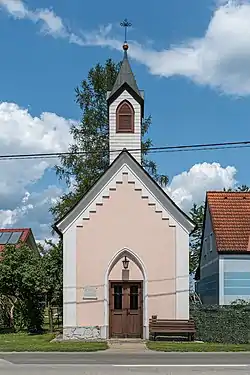 Zettling chapel | |
 Coat of arms | |
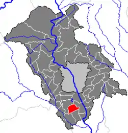 Location within Graz-Umgebung district | |
 Zettling Location within Austria | |
| Coordinates: 46°57′07″N 15°26′04″E / 46.95194°N 15.43444°E | |
| Country | Austria |
| State | Styria |
| District | Graz-Umgebung |
| Government | |
| • Mayor | Manfred Geißler (ÖVP) |
| Area | |
| • Total | 11.29 km2 (4.36 sq mi) |
| Elevation | 325 m (1,066 ft) |
| Population (1 January 2016)[1] | |
| • Total | 1,570 |
| • Density | 140/km2 (360/sq mi) |
| Time zone | UTC+1 (CET) |
| • Summer (DST) | UTC+2 (CEST) |
| Postal code | 8141, 8142 |
| Area code | 03135 |
| Vehicle registration | GU |
| Website | www.zettling.co.at |
Zettling (German pronunciation: [t͡sɛtlɪŋ]) is a former municipality in the district of Graz-Umgebung in the Austrian state of Styria. Since the 2015 Styria municipal structural reform, it is part of the municipality of Premstätten.[2]
Population
| Year | Pop. | ±% |
|---|---|---|
| 1869 | 592 | — |
| 1880 | 593 | +0.2% |
| 1890 | 620 | +4.6% |
| 1900 | 659 | +6.3% |
| 1910 | 681 | +3.3% |
| 1923 | 763 | +12.0% |
| 1934 | 809 | +6.0% |
| 1939 | 760 | −6.1% |
| 1951 | 850 | +11.8% |
| 1961 | 1,016 | +19.5% |
| 1971 | 1,091 | +7.4% |
| 1981 | 1,053 | −3.5% |
| 1991 | 1,117 | +6.1% |
| 2001 | 1,354 | +21.2% |
References
This article is issued from Wikipedia. The text is licensed under Creative Commons - Attribution - Sharealike. Additional terms may apply for the media files.