| Yvel | |
|---|---|
 | |
  | |
| Location | |
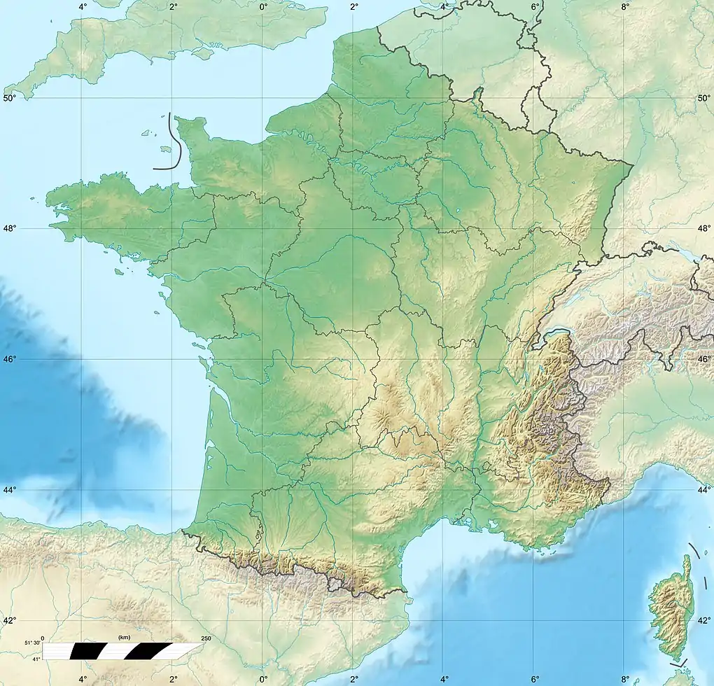
| Country | France |
| Physical characteristics | |
| Source | |
| • elevation | 240 m (790 ft) |
| Mouth | Ninian |
• coordinates | 47°55′06″N 2°26′15″W / 47.9182°N 2.4375°W |
• elevation | 23 m (75 ft) |
| Length | 58.3 km (36.2 mi) |
| Basin size | 375 km2 (145 sq mi) |
| Basin features | |
| Progression | Ninian→ Oust→ Vilaine→ Atlantic Ocean |
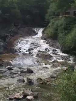
The Yvel (Breton: Ivel) is a river in Brittany, France.[1][2][3][4] Its length is 58.3 km (36.2 mi).[5] It flows into the Ninian near to Ploërmel.
References
- ↑ "CPES Interreg - Channel Payments for Ecosystem Services - Lac au Duc and Yvel-Hyvet Catchment". www.cpes-interreg.eu. Retrieved 20 May 2019.
- ↑ "Les services de l'État dans le Morbihan" (in French). Morbihan.gouv.fr. Retrieved 2019-06-10.
- ↑ "Planar Organization of River Networks: A Hidden Gamma Law Structure". ResearchGate. Retrieved 20 May 2019.
- ↑ "Yvel Hyvet". www.grandbassindeloust.fr. Retrieved 20 May 2019.
- ↑ Sandre. "Fiche cours d'eau - l'Yvel (J83-0310)".
This article is issued from Wikipedia. The text is licensed under Creative Commons - Attribution - Sharealike. Additional terms may apply for the media files.